
What is recorded here
Clearance scars the 47-metre Rathkelly ringfort, yet its earth-and-stone bank still circles the Mayo knoll. A separate mound rises on the eastern side, waiting beneath the pasture grass. The fairies may have built it before humans learned to measure, but they forgot to teach the cattle which parts of the field belonged to them.
Atop knoll in pasture. Circular area (diam.. 47m N-S) enclosed by bank (H 1.1m) of earth and stone, levelled NE to S. Site greatly disturbed by clearance. Mound (Wth 10m; H 1.3m) (MA118-021002-) of earth and stone on E side of interior.
The above description has been derived from D. Lavelle (compiler), An Archaeological Survey of Ballinrobe and District including Lough Mask and Lough Carra. Lough Mask and Lough Carra Tourist Development Association (1994), No. 483.
Date of upload: 14 November 2013
The monument record does not grant public access. Check the route and ask the landowner before entering private land.
- What survives
- Recorded monument
Places near here
 foot bridgefoot bridge · 283 yd
 bridgebridge · 381 yd
 CastleCastle, unclassified · 411 yd
 European ashEuropean ash · 744 yd
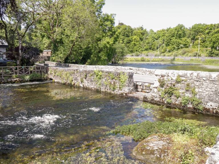 Enclosure in CornaroyaEnclosure · 856 yd
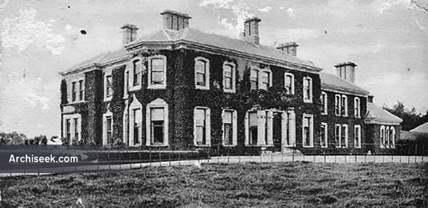 Enclosure in Creagh DemesneEnclosure · 967 yd
 LabbadermotCave · 1.7 mi
 Castle Hag RockIslet · 2.6 mi
 Aghinish RocksIslet · 2.8 mi
 Cloonagashel CastleCastle · 3.2 mi
 SycamoreSycamore · 3.3 mi
 Black RocksNamed rock · 4.2 mi
Other information
Photo: Credit not shown in the picture search · Rights wording not checked; contact us if this picture should be removed