What is recorded here
Rathfooroge is a faded ringfort on the ridge called Oileán na crú, where a shallow ditch and thin bank still mark a circular space eighteen metres across. It sits beside a possible pond-barrow and another ringfort, suggesting the ridge once held more than one claimed or defended place. The earth has been levelled until the fort disappears from ordinary sight, yet the circular line remains in aerial images. That much of the boundary is gone does not mean the claim is gone; it means the land has stopped answering every question with a visible wall.
In reclaimed pasture close to the summit of a ridge (OD 680ft.) known locally as ‘Oileán na crú’. Possible pond-barrow (LI033-020----) 15m to S and ringfort (LI033-023----) 45m to E. Annotated ‘Rathfooroge’ on OSi maps. Depicted on the OSi 25-inch map as a sub-circular-shaped area enclosed by a bank. Poorly preserved monument surveyed by the ASI in 2007 and described as a circular-shaped area (dims. 18m N-S, 19m E-W) enclosed by a bank (Wth 5.1m; int. H 0.2m; ext. H 0.15m) with slight traces of fosse (Wth 2.4m; D 0.2m) visible from SE-W and NW-NE. Described in 1960 as follows; ‘Interior 60 feet (18.3m) in diameter; a shallow ditch encircles it with a 12 foot (3.65m) wide outer bank’ (O’Dwyer 1960, 115; Knockroe 55). Levelled monument not visible on OSi orthophoto taken between 2005-12. Outline of circular-shaped area enclosed by a fosse visible on Google Earth orthoimage dated 18/11/2018.
See attached Google Earth orthoimages
Compiled by: Martin Fitzpatrick
Date of upload: 3 April 2021
See attached ASI aerial photograph ASIAP - 133/03, 04 taken 23/08/2000 and 353/7 taken 05/01/2003.
Rathfooroge is a likely early-medieval ringfort situated on a ridge near a possible pond-barrow and another ringfort, suggesting a clustered settlement or ceremonial landscape. Local tradition refers to the ridge as 'Oileán na crú,' a term that may imply a legendary or otherworldly association, potentially linking to fairy folklore.
The monument record does not grant public access. Check the route and ask the landowner before entering private land.
- What survives
- Recorded monument
Places near here
 BarrowBarrow, pond barrow · 49 yd
 Enclosure in Knockroe (coonagh By.)Enclosure · 323 yd
 Carrickittle RockCastle, unclassified · 1377 yd
 St. Patrick's WellSpring · 1543 yd
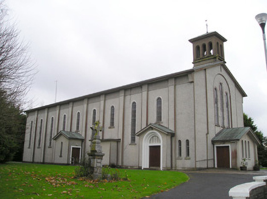 Catholic Church of Saint Patrick and Saint Brigidchurch/chapel · 1566 yd
 R.C. ChapelChurch · 1633 yd
 Kilteely HillMountain / peak · 1.1 mi
 (Site of) CastleCastle, unclassified · 1.6 mi
 KnockseefinMountain / peak · 2.4 mi
 Flat cemetery in Knockainy WestFlat cemetery · 5.0 mi
 St Patrick's WellSpring · 6.8 mi
 Ballinvreena LoopVisitor information · 9.7 mi