What is recorded here
Situated on an E–W ridge of fertile pasture surrounded on all sides by wet lowlying ground.
Named ‘Raheennafreeghoge’ on the 1838 and 1922 OS 6-inch maps. Raised circular area (diam. 19.7m) enclosed by two very low earthen banks with an intermediate berm (Wth 3.6-5.4m). The berm and the outer bank have been planted with coniferous trees. The original entrance was probably at N where there is a break in the inner bank (Wth 2.5m). There is a second break in the inner bank at ESE (Wth 3m) but this appears to be relatively modern. Adjacent to the enclosing bank in the NW quadrant, a low concentration of stones may be the foundations of a house (MA014-083001-). There is a possible Man-made underground passage (MA014-083002-) in the SE quadrant.
Compiled by: Jane O'Shaughnessy
Date of upload: 4 February 2015
The monument record does not grant public access. Check the route and ask the landowner before entering private land.
- What survives
- Recorded monument
Places near here
 RatheenroeArchaeological place · 840 yd
 RaheenroeFairy fort / earthen ringfort · 850 yd
 Church in RuinsChurch · 1162 yd
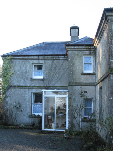 Carn Housefarm house · 1.1 mi
 Bawn in CarrickanassBawn · 1.3 mi
 Castle (in Ruins)Castle, tower house · 1.4 mi
 Lisheen Grave YardArchaeological place · 2.4 mi
 Battle of Killalabattle · 3.4 mi
 Green IslandIslet · 3.8 mi
 Rinnaun PointHeadland · 3.9 mi
 TrabaunBeach / strand · 4.4 mi
 Battlefields of MoyneBattlefield · 4.8 mi