What is recorded here
Rathcoultia is a broken fairy fort on a gravel ridge in County Mayo, halved by a modern fence yet still commanding wide pasture views. The western arc survives as a low sod-covered bank, marked by faint cultivation ridges and tangled thorns, while the eastern half has been levelled into ordinary ground. It is a place where human forgetting and fairy memory collide, inviting wonder about what was lost before the fence cut through the circle.
In average pasture, located on top of a gravel ridge, with a fall of ground to N and SE, providing fine views over flat, lowlying pasture to N and gently undulating terrain to S–SW.
This rath is named ‘Rathcoultia’ on the 1838 and 1922 OS 6-inch maps, where it is depicted as circular; the E half has since been levelled. A property fence on a NNW–SSE axis bisects the rath roughly centrally.
The W half of the rath survives as a slightly raised semi-circular area (30m N–S; 17m E–W to fence), defined S–NNW by a sod-covered earthen bank (Wth 2.6m; int. H 0.2-0.4m; ext. H 0.7m at NW). At SW, 2m outside the bank there are remnants of a second bank. This is engulfed in overgrowth, and it is unclear if it is an original external bank or merely the remnants of a later field fence. The interior of the W half is traversed by relict N–S cultivation ridges. To E of the property fence, the rath has been levelled, except for a short arc of enclosing scarp at SE–S, which is preserved in the line of a NE–SW field fence.
Hawthorn, blackthorn and brambles grow on the perimeter at S and W.
Compiled by: Jane O'Shaughnessy
Date of upload: 13 August 2019
The monument record does not grant public access. Check the route and ask the landowner before entering private land.
- What survives
- Recorded monument
Places near here
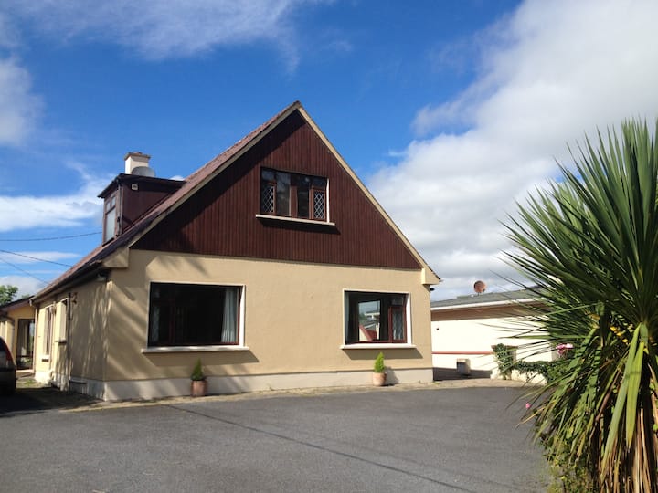 LisduffFairy fort / earthen ringfort · 324 yd
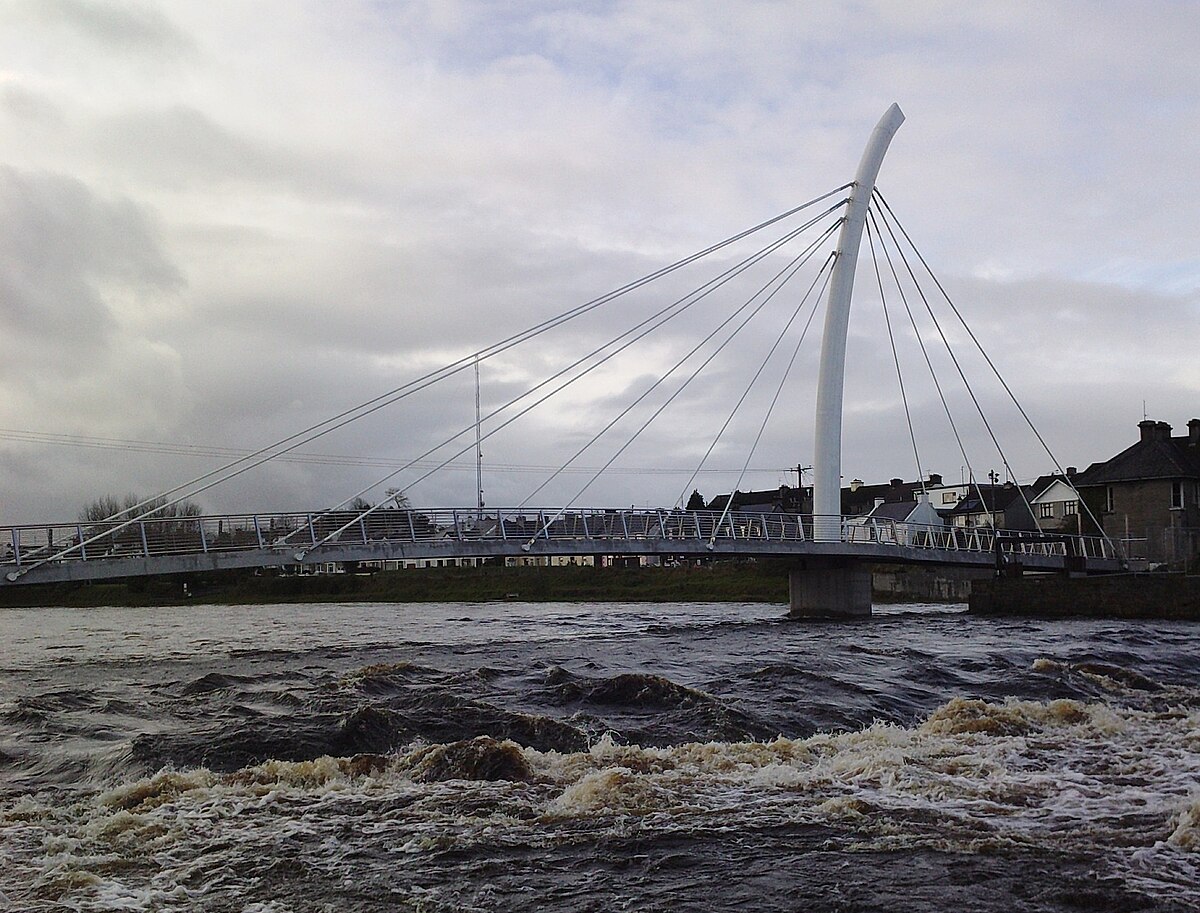 TobertiernanHoly well · 392 yd
 CastleCastle, unclassified · 902 yd
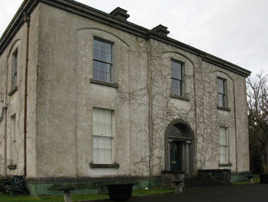 Castlehill Housefarm house · 913 yd
 Ballyduffy CastleCastle, unclassified · 1.0 mi
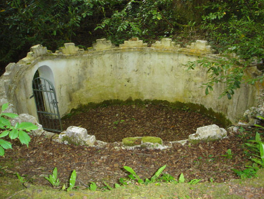 Enniscoe Housemausoleum · 1.1 mi
 Titanic Memorial ParkMemorial · 1.5 mi
 Castle IslandIslet · 1.5 mi
 Roe IslandIslet · 1.7 mi
 Grave of the KingsArchaeological place · 2.5 mi
 NephinMountain / peak · 3.4 mi
 FarbreigaMountain / peak · 6.4 mi