What is recorded here
Rathangan was a busy Anglo-Norman manor on a bog-bound ridge where Gerald Fitzgerald held court in 1308 and perhaps a hundred and twenty burgages crowded together before the Ui Conchobair Failghe took it over. Strongbow may have granted it to Robert de Bermingham or Maurice Fitzgerald, while Silken Thomas used its castle during his 1535 rebellion, suggesting a place stubborn enough to survive repeated conquests. The medieval heart faded into a smaller village, yet the old rath still marks the NW edge, preserving the shape of a settlement that kept changing hands but never stopped mattering.
The name Rathangan ('Rath Iomghain') derives from the rath (KD017-011001-) on the NW edge of the town, which appears to have been reused as an Anglo-Norman ringwork (KD017-011004-) when Rathangan was granted by Strongbow possibly to Robert de Bermingham, as part of his cantred of Offaly, or to Maurice Fitzgerald, to whom it belonged by 1268. Located in frontier territory, on the borders of the Ui Conchobhair's Ui Failghe, in 1300, the 'vill' of Rathangan was burned by the 'Irish'. An assize of 1308 records that Gerald Fitzgerald held his court there, indicating that it was a manor of some importance, and in 1331 there were possibly one hundred and twenty burgages there (Bradley et al 1986 vol. 4, 414). It also contained a church (KD017-011003-). During the 15 century, Rathangan passed into the hands of the Ui Conchobair Failghe. The castle (KD017-011003-) was described as one of the strongholds of Silken Thomas during his rebellion in 1535, and in 1540, the village of Rathangan numbered eight messuages, ten cottages and a watermill (Fitzgerald 1906-8, 137-63). It was plundered in 1546, but was later granted a market in 1672. Rathangan stands on a ridge immediately N of the Slate River, surrounded to S, W and N by large tracts of bog. The street pattern is linear, and while plots on Main St. reflect a burgage-plot pattern, the layout of the settlement appears to be no older than the 17 c. (Bradley et al 1986 vol. 4, 413-21) In 1999, archaeological monitoring (Licence no. 99E0728: www.excavations.ie) was undertaken at a residential development site at Mullatine immediately to the south of the zone of archaeological potential for Rathangan. While no archaeological features were uncovered, 56 pottery sherds of were found; 25 were medieval (Leinster cooking ware and possibly locally made glazed and unglazed wares), one was a 17th century sherd from North Devon, with the remainder dating to the 18th/19th c. It was postulated that the pottery could have been introduced to the site from the adjoining medieval settlement in Rathangan.
Compiled by: Gearóid Conroy
Date of upload: 10 June 2011
The monument record does not grant public access. Check the route and ask the landowner before entering private land.
- What survives
- Recorded monument
Places near here
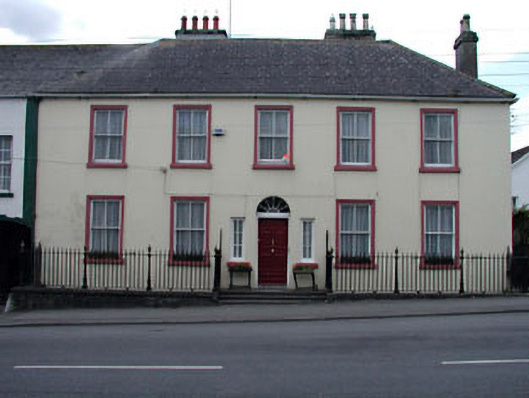 The Parochial Housepresbytery/parochial/curate's house · 27 yd
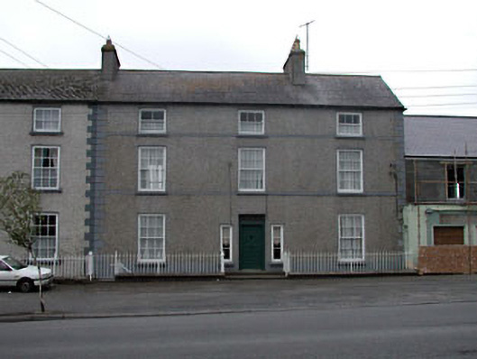 Clonlara Househouse · 30 yd
 Bithia Mary CrokerMemorial · 72 yd
 An Rath Ring FortArchaeological place · 232 yd
 Site of CastleCastle, tower house · 455 yd
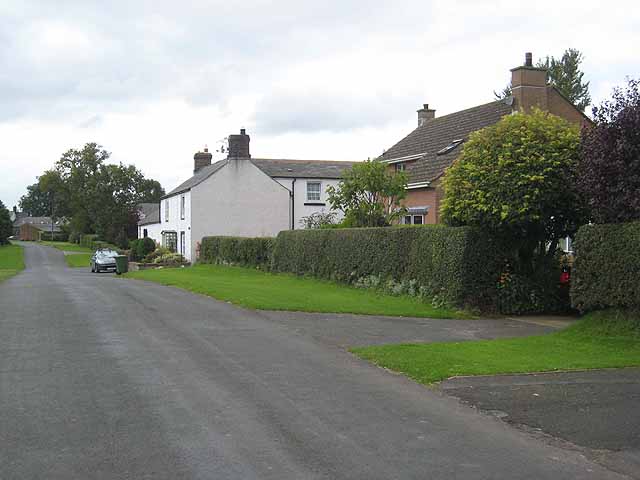 Enclosure in Newtown (killinthomas Ed)Enclosure · 633 yd
 Community OrchardNature reserve · 680 yd
 Offaly CastleCastle, tower house · 1.1 mi
 Killinthomas Wood (Rathangan)Wood · 1.4 mi
 The Fairy BowerHeritage attraction · 3.8 mi
 Lullymore Heritage ParkHeritage attraction · 3.9 mi
 Sli na Slainte - mapVisitor information · 4.6 mi