
What is recorded here
Rathaboira is a circular mound in Limerick pasture, still standing beside an older enclosure and marked on maps since 1840. A late field cut through its north edge, but the scarp, fosse and broad platform remain visible from above. Cattle may have grazed it for centuries, trusting the mound to hold its shape while human attention wandered elsewhere.
In pasture, 205m E of townland boundary with Ballinlyna Lower. An enclosure (LI048-108----) lies 135m to the NW. Annotated ‘Rathaboirra’ on the historic OSi maps. Depicted on the 1840 ed. OSi 6-inch sheet as a raised circular-shaped platform defined by a scarp. Shown on the 1897 OSi 25-inch map as a raised sub-circular shaped platform (diam. c. 19m) defined by a steep scarp. Monument visible as a raised circular-shaped platform defined by a scarp with fosse and possibly two levelled banks with intervening fosse truncated at N by a relic post-1700 field boundary running E-W, on Digital Globe orthoimage taken between 2011-13.
See attached Google Earth orthoimages.
Compiled by: Fiona Rooney
Date of upload: 18 August 2021
The monument record does not grant public access. Check the route and ask the landowner before entering private land.
- What survives
- Recorded monument
Places near here
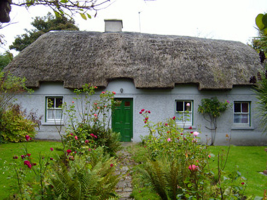 Martin's Cottagehouse · 795 yd
 Tuck MillWater mill, unclassified · 810 yd
 Earthwork in Ballinanima (darcy)Earthwork · 1010 yd
 Furnace in KilfinnaneFurnace · 1067 yd
 Ballyhoura tourist informationVisitor information · 1212 yd
 Castle (in ruins)Castle, tower house · 1327 yd
 Treada Na Ríogh (The Moat), hachuredCastle, motte · 1448 yd
 Palatine's RockNamed rock · 1.8 mi
 Ballyhoura WayWalking route · 2.1 mi
 Gooseberry HillMountain / peak · 2.3 mi
 Keale MountainMountain / peak · 2.4 mi
 Ballinvreena LoopVisitor information · 2.9 mi
Other information
Photo: Credit not shown in the picture search · Rights wording not checked; contact us if this picture should be removed