What is recorded here
Earlsfort in Ballyearl still carries a central mound inside its old rath, marking the place where people lived, worked and remembered long before modern roads passed it by. The earth may have hidden hearths, tools or feet of children running home, while storms and centuries smoothed the edges of their days.
The official Northern Ireland record identifies this as RATH with CENTRAL MOUND: EARLSFORT. Recorded period: E.CHRIST.. The official map point was placed at the centre of the recorded archaeological site from the source map reference.
Rath with central mound, dating to the Early Christian period. This site is significant as a defensive or monastic enclosure, reflecting early medieval settlement patterns in the region.
The monument record does not grant public access. Check the route and ask the landowner before entering private land.
- What survives
- Recorded monument
Places near here
 SQUARE ENCLOSURE in LisnalinchySQUARE ENCLOSURE · 1449 yd
 AP Cropmark- Possible enclosure in BallyhowneAP Cropmark- Possible enclosure · 1.2 mi
 RUINED STRUCTURERUINED STRUCTURE, CHURCH? · 1.2 mi
 Sentry Hill Historic HouseMuseum · 2.1 mi
 Patterson's Spade MillMill · 2.3 mi
 FORTIFIED HOUSE & EARTHWORK DEFENCES (unlocated) in Grange OF MalluskFORTIFIED HOUSE & EARTHWORK DEFENCES (unlocated) · 3.2 mi
 Carnmoney HillMountain / peak · 3.4 mi
 CASTLE (unlocated) in BallyvastonCASTLE (unlocated) · 3.7 mi
 Bellevue Area of Special Scientific InterestCliff · 4.3 mi
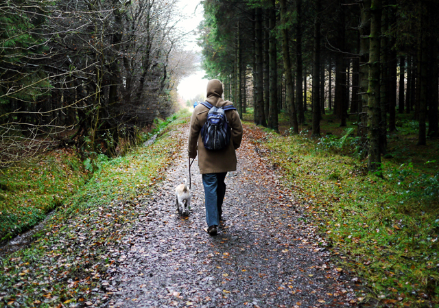 Woodburn ForestForest · 4.5 mi
 O'Haughan's CaveCave · 4.5 mi
 Cave Hill CaveCave · 4.9 mi