What is recorded here
Tamlaght in Lisnacree began as a rath, a defensible earthwork where people lived and died before Christianity reached the valley. The church and graveyard reused that old boundary, layering worship onto memory instead of erasing it. The hill remains scheduled because continuity, not spectacle, is what makes it worth protecting.
The official Northern Ireland record identifies this as RATH; reused as CHURCH SITE and GRAVEYARD: TAMLAGHT. Recorded period: UNCERTAIN; LATE-MED; E.CHRIST.. Recorded protection: Scheduled. The official map point was placed at the centre of the recorded archaeological site from the source map reference.
A circular earthwork (rath) possibly dating to the Early Christian period, later reused as a church site and graveyard. Its Scheduled status indicates archaeological importance, though specific historical significance remains unclear due to limited documentation.
The monument record does not grant public access. Check the route and ask the landowner before entering private land.
- What survives
- Recorded monument
Places near here
 ENCLOSURE? in BallymadeerfyENCLOSURE? · 888 yd
 ENCLOSURE in BallymadeerfyENCLOSURE · 1550 yd
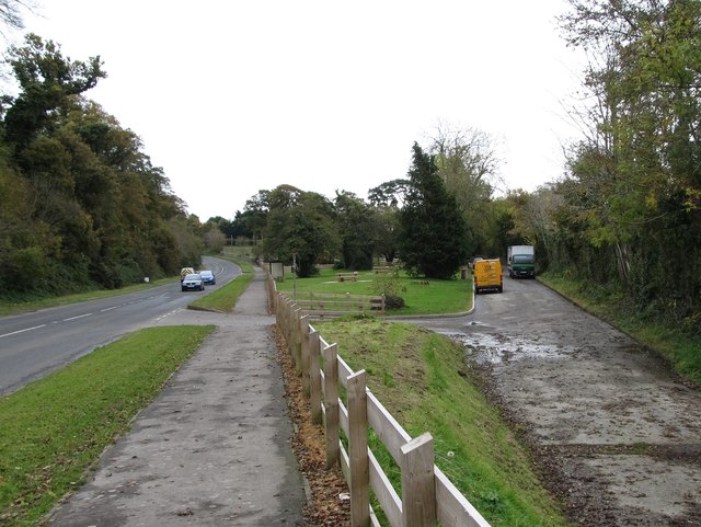 Whitewater Picnic Area & Disabled Fishing sitePicnic place · 1.5 mi
 FormalMountain / peak · 1.5 mi
 KnocksheeMountain / peak · 1.7 mi
 GreencastleCastle · 1.7 mi
 CASTLE & WELL: GREENCASTLE in GreencastleCASTLE & WELL: GREENCASTLE · 1.7 mi
 CHURCH in GreencastleCHURCH · 1.7 mi
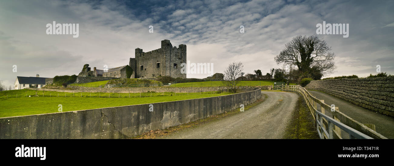 Historic Settlement Greencastle in GreencastleHistoric Settlement Greencastle · 1.7 mi
 Mourne ParkWood · 1.9 mi
 Greenore PointHeadland · 2.5 mi
 GreenoreVisitor information · 2.7 mi