What is recorded here
Mud, memory and hidden passage. The official label still hovers between a defended place and a made tunnel, which is fitting because the land keeps both secrets. A Rath is not a polite circle of stones; it is a boundary drawn by people who expected danger and answered with structure. Beneath Tullybrick, that boundary may continue downward, carrying rain, breath and forgotten footsteps into darkness.
The official Northern Ireland record identifies this as RATH & possible Man-made underground passage. Recorded period: E.CHRIST.. The official map point was placed at the centre of the recorded archaeological site from the source map reference.
The monument record does not grant public access. Check the route and ask the landowner before entering private land.
- What survives
- Recorded monument
Places near here
 Historic Settlement Middletown in MiddletownHistoric Settlement Middletown · 259 yd
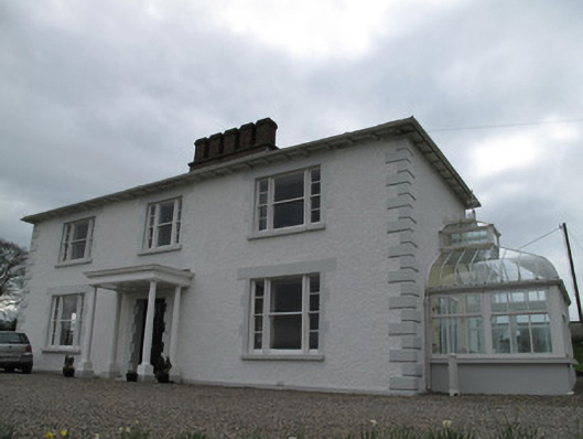 Annagola Housecountry house · 694 yd
 ENCLOSURE in CavandooganENCLOSURE · 1301 yd
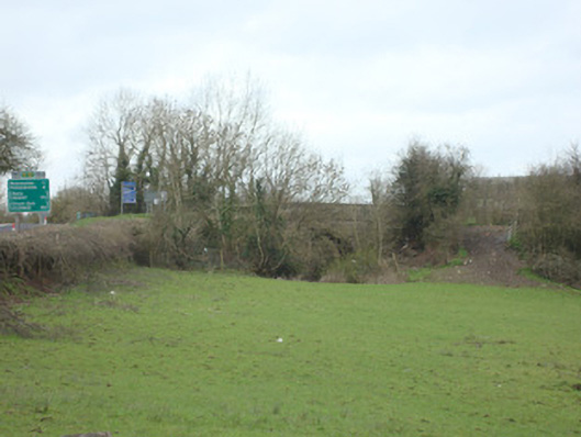 bridgebridge · 1.8 mi
 Old WoodForest · 2.0 mi
 Harry LaveryMemorial · 2.4 mi
 Lebanon CedarLebanon Cedar · 2.5 mi
 Castleshane WaterfallWaterfall · 4.7 mi
 Emyvale Heritage TrailVisitor information · 5.6 mi
 Monaghan County MuseumMuseum · 5.7 mi
 Rossmore MonumentMemorial · 5.8 mi
 Bawn in Roosky (monaghan By., Monaghan Par.)Bawn · 5.9 mi