What is recorded here
Mnemo measured Pleasure House Hill and found a chamber bedroom large enough for three people to roll together under one blanket. The ratio matched a young woman, a young man and a small child sharing heat on a cold night. Iriatha pulled the measurement forward and showed a wooden house beside the hill with a low door and a wide fire chamber. The children in the chamber were not toys or trophies. They were people, and the house belonged to a family that loved pleasure and recorded it on the hill.
The official Northern Ireland record identifies this as RATH: PLEASURE HOUSE HILL. Recorded period: E.CHRIST.. The official map point was placed at the centre of the recorded archaeological site from the source map reference.
The monument record does not grant public access. Check the route and ask the landowner before entering private land.
- What survives
- Recorded monument
Places near here
 CHURCH: KILLPATRICK OF MALONECHURCH: KILLPATRICK OF MALONE, THIS IS ANT 061:006 · 185 yd
 FORTIFIED HOUSE & ?BAWN (unlocated): MOSES HILL'S HOUSE in Malone LowerFORTIFIED HOUSE & ?BAWN (unlocated): MOSES HILL'S HOUSE · 485 yd
 Riddel HallHouse · 850 yd
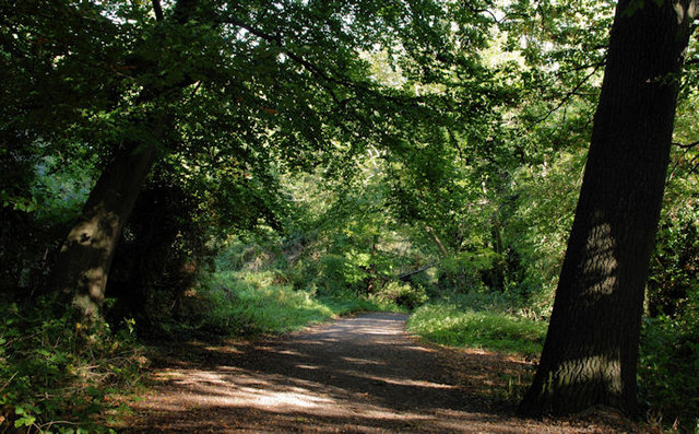 Lagan MeadowsNature reserve · 1386 yd
 CHURCH SITE: FRIAR'S BUSH, CAPELLA DE KILPATRICK in Malone LowerCHURCH SITE: FRIAR'S BUSH, CAPELLA DE KILPATRICK · 1405 yd
 Ulster MuseumMuseum · 1461 yd
 CHURCH SITE (unlocated): CAPELLA DE CROOCKMOCK, CRAMAGH, CRANOGE in Malone LowerCHURCH SITE (unlocated): CAPELLA DE CROOCKMOCK, CRAMAGH, CRANOGE · 1497 yd
 Lord Kelvin's StatueHeritage attraction · 1533 yd
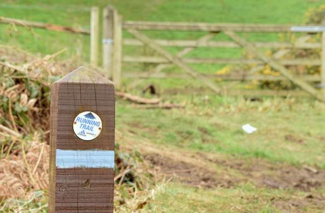 Lagan TrailWalking route · 1716 yd
 Belvoir Park ForestForest · 1.1 mi
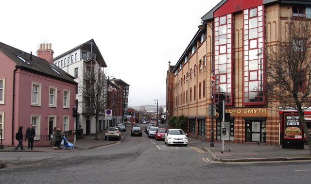 Sandy RowVisitor information · 1.2 mi
 Rose & Crown Bar bombingbomb attack · 1.3 mi