What is recorded here
Mossfield Fort in County Fermanagh is a rath, an earthen stronghold from the early Christian period where human hands shaped the land into a defensible circle. The official record preserves the name and location but gives no date for its building or abandonment. A fort implies people who feared loss, drew a boundary in soil, and lived inside that choice. The moss may have swallowed the gate, the hearing stone, or the first household, yet the field still carries the shape of their decision to resist forgetting.
The official Northern Ireland record identifies this as RATH: MOSSFIELD FORT. Recorded period: E.CHRIST.. The official map point was placed at the centre of the recorded archaeological site from the source map reference.
The monument record does not grant public access. Check the route and ask the landowner before entering private land.
- What survives
- Recorded monument
Places near here
 HOLY WELL in CloghballyHOLY WELL · 707 yd
 St. Michael's ChurchChurch · 815 yd
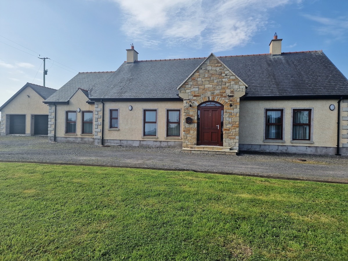 HOLY WELL & possibly CHURCH SITE: ST. MOLAISES' WELL, BAILE UI CHAISIDE in BallycassidyHOLY WELL & possibly CHURCH SITE: ST. MOLAISES' WELL, BAILE UI CHAISIDE · 1.0 mi
 Cherry IslandIsland · 1.4 mi
 Kilgortnaleague BridgeBridge · 1.4 mi
 Trasna IslandIsland · 1.5 mi
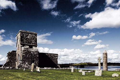 Devenish IslandIsland · 1.8 mi
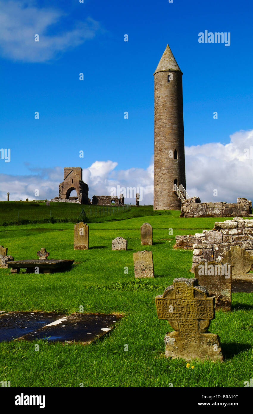 Devenish Monastic Site MuseumMuseum · 1.9 mi
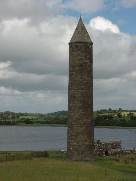 Devenish Island Round TowerViewpoint · 1.9 mi
 CASTLE (unlocated) in DrumkeenCASTLE (unlocated) · 2.1 mi
 Devenish Local Nature ReserveNature reserve · 2.8 mi
 Portora CastleCastle · 2.9 mi