What is recorded here
One or two rath markers sit in Ballynaskeagh, County Down, perhaps paired but never clearly separated. The uncertainty itself belongs to the place: a borderland of definition where human hands shaped earth into residence or defense, then withdrew. Walk the field and imagine the missing wall, the forgotten door, the life that treated the marker as ordinary.
The official Northern Ireland record identifies this as RATH (may be one of a pair with 041:006]. Recorded period: E.CHRIST.. The official map point was placed at the centre of the recorded archaeological site from the source map reference.
The monument record does not grant public access. Check the route and ask the landowner before entering private land.
- What survives
- Recorded monument
Places near here
 ENCLOSURE in BallynaskeaghENCLOSURE · 927 yd
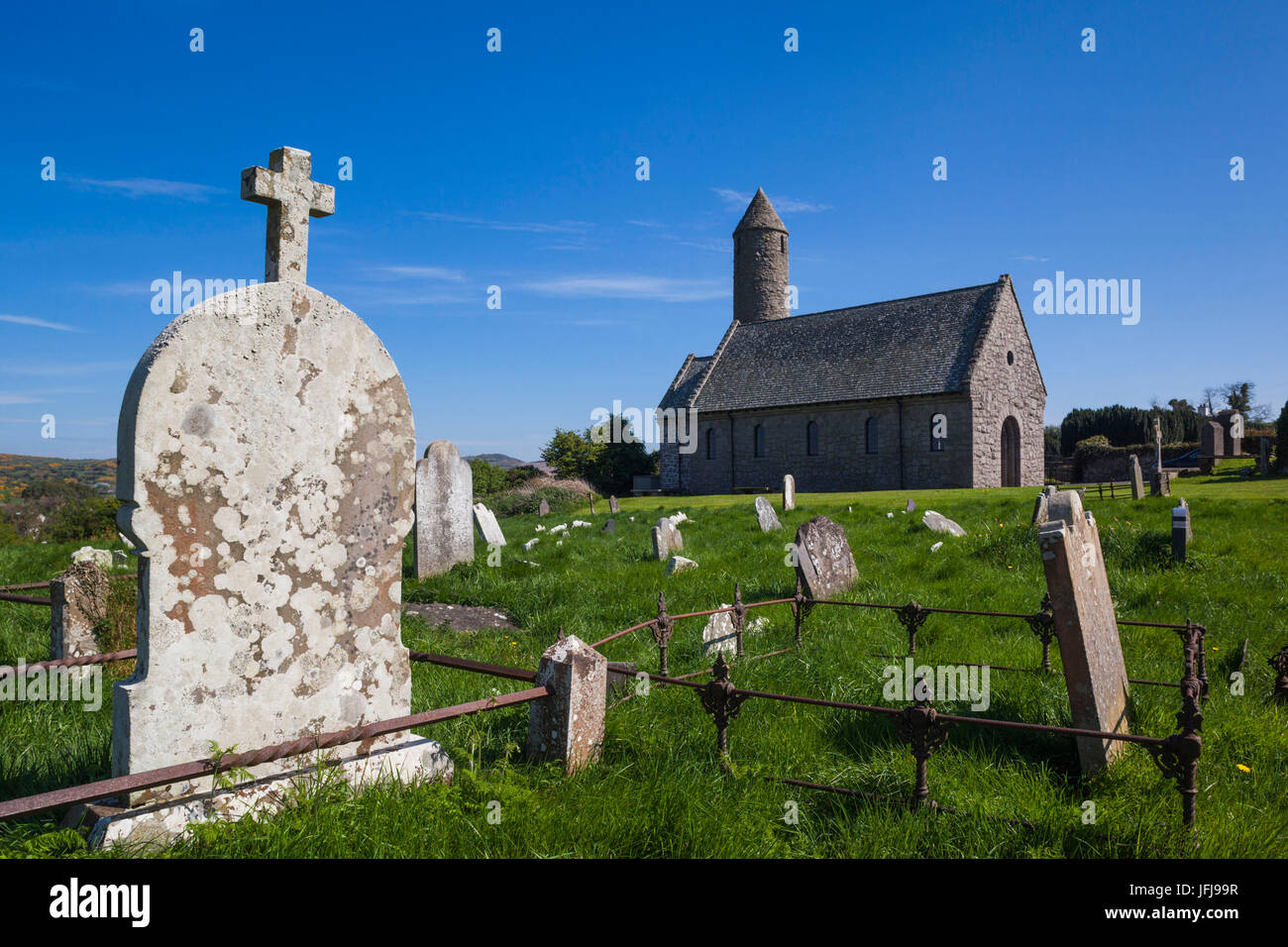 Possible CHURCH site (from placename, Shankill) in ShankillPossible CHURCH site (from placename, Shankill) · 1244 yd
 OuleyMountain / peak · 1.8 mi
 Knockiveagh Picnic SitePicnic place · 2.6 mi
 KnockiveaghMountain / peak · 2.9 mi
 Former National SchoolHall · 2.9 mi
 FE McWilliam Gallery and StudioGallery · 3.6 mi
 Dromantine CollegeUniversity/ College Building · 3.9 mi
 Game of Thrones Studio TourHeritage attraction · 4.3 mi
 Newry Canal WayWalking route · 4.6 mi
 The Brontë CentreVisitor information · 4.7 mi
 CASTLE in LoughadianCASTLE · 4.7 mi