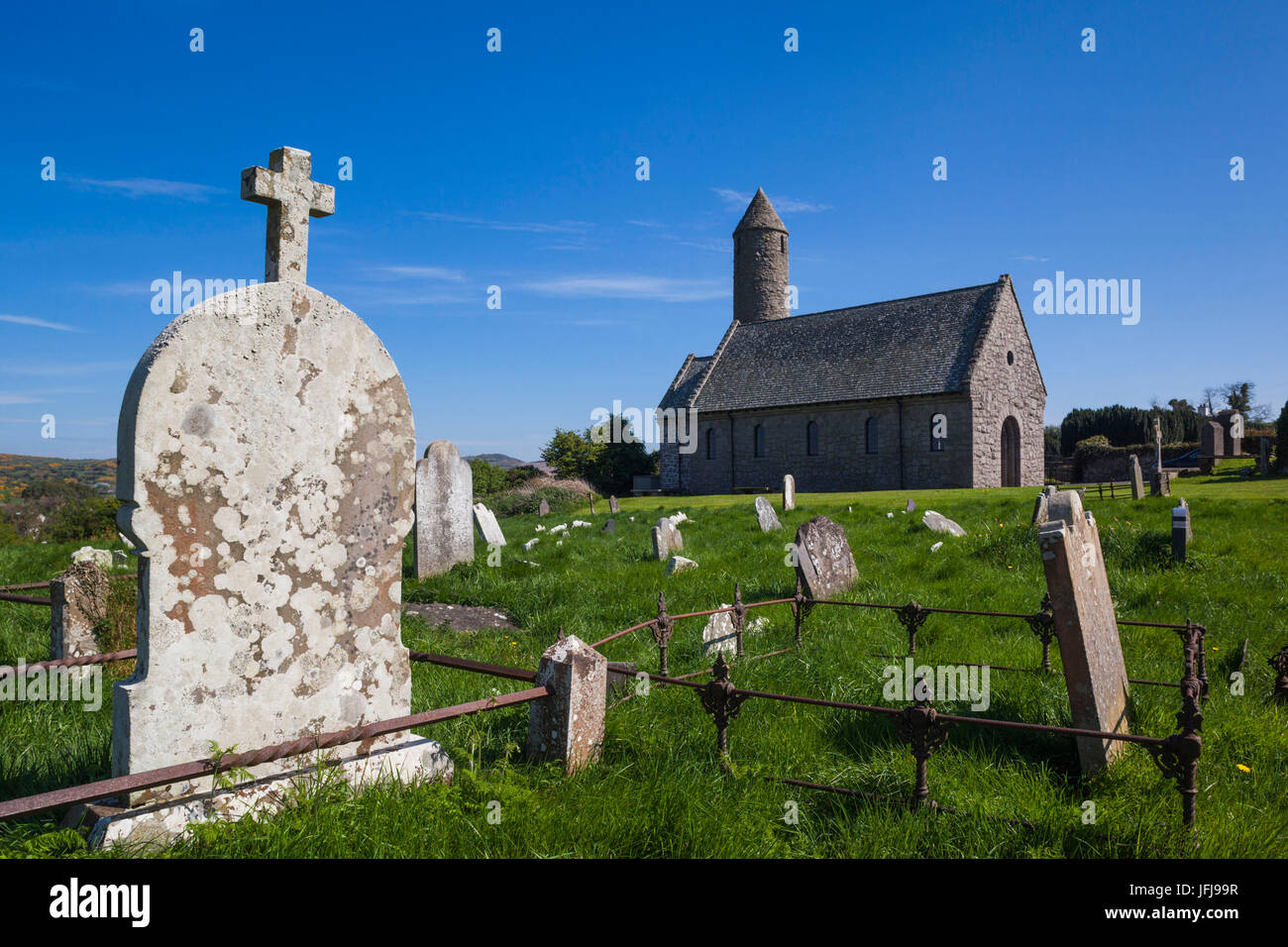
What is recorded here
Shankill in County Down may have hidden a church beneath later lives, though no exact date or surviving structure is recorded. The name itself carries the claim: a sacred place, a kiln or cliff edge, and a human hand that shaped the land before memory faded. What is certain is only that the site still exists on the official map, waiting for proof.
The official Northern Ireland record identifies this as Possible CHURCH site (from placename, Shankill). Recorded period: UNCERTAIN. The official map point was placed at the centre of the recorded archaeological site from the source map reference.
The monument record does not grant public access. Check the route and ask the landowner before entering private land.
- What survives
- Recorded monument
Places near here
 ENCLOSURE in BallynaskeaghENCLOSURE · 1353 yd
 AP CropmarkAP Cropmark, Possible enclosure · 1594 yd
 OuleyMountain / peak · 2.5 mi
 FE McWilliam Gallery and StudioGallery · 2.9 mi
 Knockiveagh Picnic SitePicnic place · 3.0 mi
 KnockiveaghMountain / peak · 3.2 mi
 Former National SchoolHall · 3.3 mi
 Belmont HotelHotel · 3.6 mi
 Game of Thrones Studio TourHeritage attraction · 3.8 mi
 Downshire BridgeMemorial · 4.0 mi
 Newry Canal WayWalking route · 4.4 mi
 CASTLE in LoughadianCASTLE · 4.4 mi
Other information
Photo: Credit not shown in the picture search · Rights wording not checked; contact us if this picture should be removed