What is recorded here
Mortars and rails from the World War II era still mark the edge of the abandoned underground passage. The chamber is not a fantasy claim; it is a recorded wartime structure. That much is clear. What is unclear is whether it served a radar station, a weapon depot or a private military experiment. The chamber does not answer that question. It preserves the shape of the answer and refuses the fact.
The official Northern Ireland record identifies this as RATH & Man-made underground passage. Recorded period: E.CHRIST.; UNCERTAIN. The official map point was placed at the centre of the recorded archaeological site from the source map reference.
The monument record does not grant public access. Check the route and ask the landowner before entering private land.
- What survives
- Recorded monument
Places near here
 Enclosure in BallyhamageEnclosure · 1310 yd
 LiDAR site- Possible rath/ circular enclosure in BallyweeLiDAR site- Possible rath/ circular enclosure · 1493 yd
.jpg?width=1280) Ballyclare Town HallTown Hall · 2.6 mi
Ballyclare Town HallTown Hall · 2.6 mi C17th CASTLE on MONASTIC SITE : ORDER of ST. JOHN OF JERUSALEM, UPTON CASTLE, UPTON MAUSOLEUM, HUGH DE LOGAN'S TOWN in TemplepatrickC17th CASTLE on MONASTIC SITE : ORDER of ST. JOHN OF JERUSALEM, UPTON CASTLE, UPTON MAUSOLEUM, HUGH DE LOGAN'S TOWN · 2.6 mi
_-_geograph.org.uk_-_5247773.jpg?width=1280) Ulster BankBank · 2.7 mi
Ulster BankBank · 2.7 mi Castle UptonCastle · 2.7 mi
 Big CollinMountain / peak · 4.4 mi
 Tardree MountainMountain / peak · 4.6 mi
 Tardree ForestForest · 4.8 mi
 Sentry Hill Historic HouseMuseum · 5.0 mi
 Springhill Massacremass shooting · 10 mi
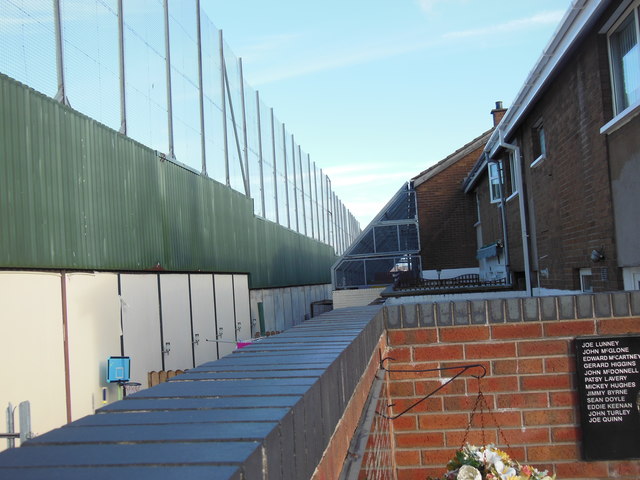 Clonard Martyrs MemorialMemorial · 10 mi