What is recorded here
Lissmore rises in Doogary, County Armagh, an earthwork built by human hands during the early Christian period. It is not a vague shadow or a forgotten rumour; it is a named rath, recorded and mapped. The land still holds the shape of that choice. People lived, loved, argued and died within its rim, turning soil into a home and a home into a marker.
The official Northern Ireland record identifies this as RATH: LISSMORE. Recorded period: E.CHRIST.. The official map point was placed at the centre of the recorded archaeological site from the source map reference.
The monument record does not grant public access. Check the route and ask the landowner before entering private land.
- What survives
- Recorded monument
Places near here
 ENCLOSURE in DoogaryENCLOSURE · 471 yd
 ENCLOSURE in KiltubbridENCLOSURE · 1131 yd
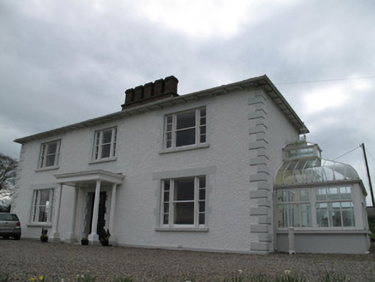 Annagola Housecountry house · 2.0 mi
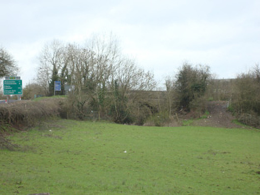 bridgebridge · 2.7 mi
 Old WoodForest · 3.5 mi
 Harry LaveryMemorial · 3.9 mi
 Lebanon CedarLebanon Cedar · 4.0 mi
 Castleshane WaterfallWaterfall · 4.8 mi
 Keady MonumentMemorial · 4.9 mi
 Navan FortArchaeological place · 6.3 mi
 Mullacreevie ambushambush · 7.0 mi
 Monaghan WayWalking route · 7.1 mi