What is recorded here
LISATINNY: A circular rath in Garvagh. Built or shaped in the E.CHRIST.. period. The earth and stone still mark the boundary. People lived, hid or worshipped inside that simple circle before written records arrived. The land remembers the shape even when the name resists explanation.
The official Northern Ireland record identifies this as RATH: LISATINNY. Recorded period: E.CHRIST.. Recorded protection: Scheduled. The official map point was placed at the centre of the recorded archaeological site from the source map reference.
The monument record does not grant public access. Check the route and ask the landowner before entering private land.
- What survives
- Recorded monument
Places near here
 Ulster BankBank · 407 yd
 ENCLOSURE (O.S. memoir site, unlocated) in CarrowreaghENCLOSURE (O.S. memoir site, unlocated) · 415 yd
 Killyvally BridgeBridge · 647 yd
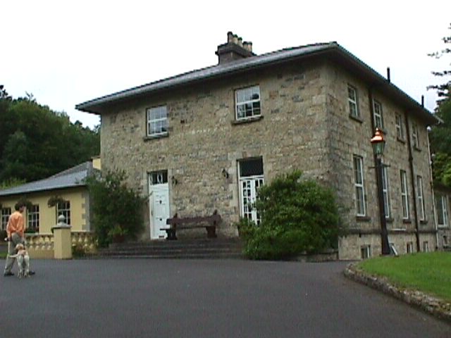 ENCLOSURE in Mettican GlebeENCLOSURE · 682 yd
 Ulster War Memorial Clock TowerMemorial · 696 yd
 Garvagh ForestForest · 990 yd
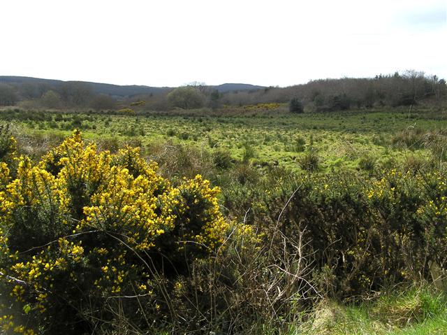 Cam ForestForest · 5.0 mi
 Legananam PotCliff · 5.9 mi
 Donald's HillMountain / peak · 5.9 mi
 CHURCH & GRAVEYARD: KILREA OLD CHURCH or KILREA O'DIAMOND in KilreaCHURCH & GRAVEYARD: KILREA OLD CHURCH or KILREA O'DIAMOND · 6.0 mi
 Carn HillMountain / peak · 7.6 mi
 FORTIFIED HOUSE in ProspectFORTIFIED HOUSE · 8.5 mi