What is recorded here
Kearney Hill in Cavanacaw, County Armagh, still carries the name of a Rath, though no wall or trench remains visible to judge its shape. The land may have served as a boundary marker, a burial mound, or a seasonal gathering place before human memory faded. Its absence from modern sight does not erase it; it simply returns the hill to silence, waiting for someone to walk its ridge and imagine the hands that shaped it.
The official Northern Ireland record identifies this as RATH: KEARNEY HILL. Recorded period: E.CHRIST.. The official map point was placed at the centre of the recorded archaeological site from the source map reference.
The monument record does not grant public access. Check the route and ask the landowner before entering private land.
- What survives
- Recorded monument
Places near here
 HENGIFORM ENCLOSURE in BallyheridanHENGIFORM ENCLOSURE · 555 yd
 ENCLOSURE in DrumgawENCLOSURE · 899 yd
 Primate's ChapelChurch · 1.1 mi
 Armagh GaolPrison · 1.4 mi
 Armagh Rail Disaster Memorial SculptureMemorial · 1.5 mi
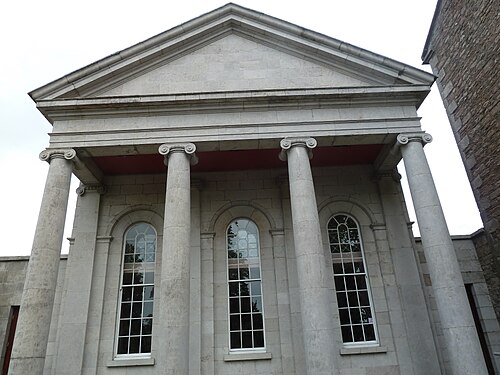 Armagh County MuseumMuseum · 1.7 mi
 No 5 Vicars' HillMuseum · 1.7 mi
 Crimean CannonMemorial · 1.7 mi
 Battle of the Yellow FordMajor battlefield · 1.7 mi
 Battle of ClontibretMajor battlefield · 1.7 mi
 Abbey StreetVisitor information · 1.8 mi
 Cannon HillViewpoint · 4.4 mi