What is recorded here
Mortons and other local people still discuss the lost boundary, though no modern marker remains. The area may have contained a small settlement, a boundary marker or a temporary camp. It may also have contained a household, a workshop or a seasonal camp. The absence of a visible marker does not remove the place from memory.
The official Northern Ireland record identifies this as RATH. Recorded period: E.CHRIST.. The official map point was placed at the centre of the recorded archaeological site from the source map reference.
The monument record does not grant public access. Check the route and ask the landowner before entering private land.
- What survives
- Recorded monument
Places near here
 Rateen National SchoolRuins · 631 yd
 Rathmoran CastleRuins · 819 yd
 Corflugh ForestForest · 999 yd
 FORTIFICATION in TattycamFORTIFICATION · 1003 yd
 Tattycam ForestForest · 1006 yd
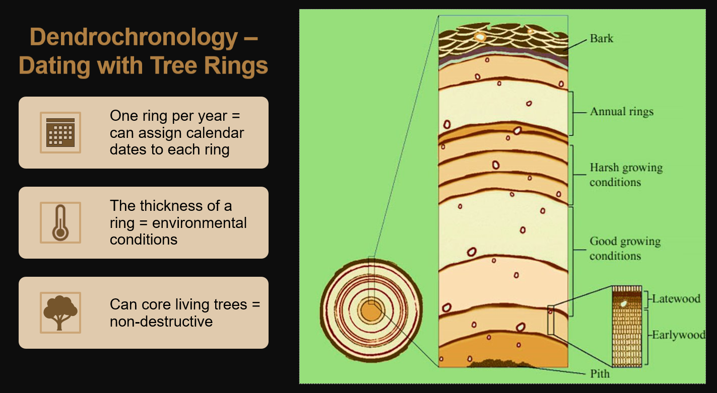 ENCLOSUREENCLOSURE, tree ring? · 1310 yd
 GolanRuins · 1401 yd
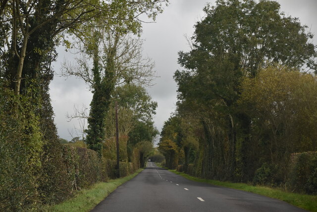 Mount DarbyMountain / peak · 1.1 mi
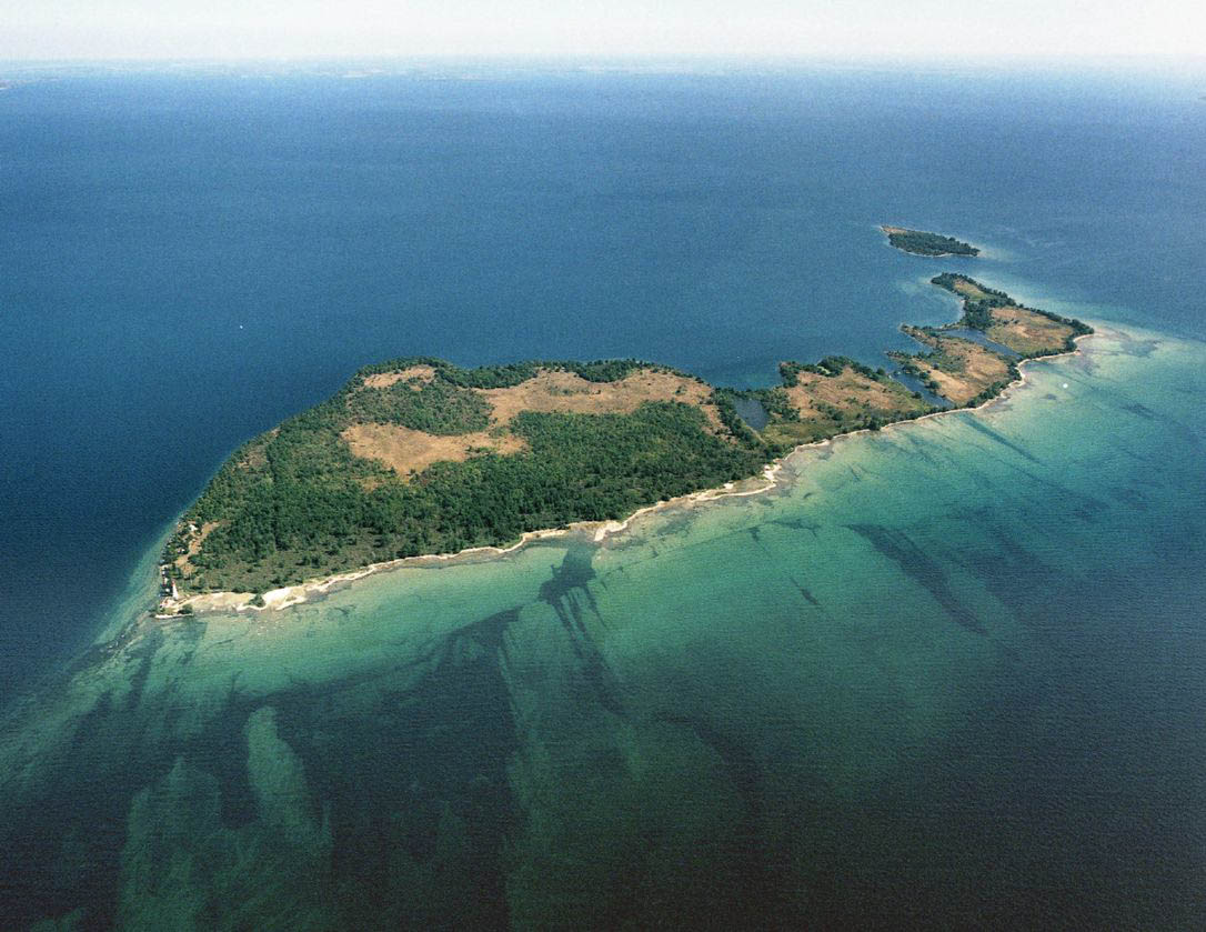 Duck IslandIslet · 1.5 mi
 EschleaghMountain / peak · 2.8 mi
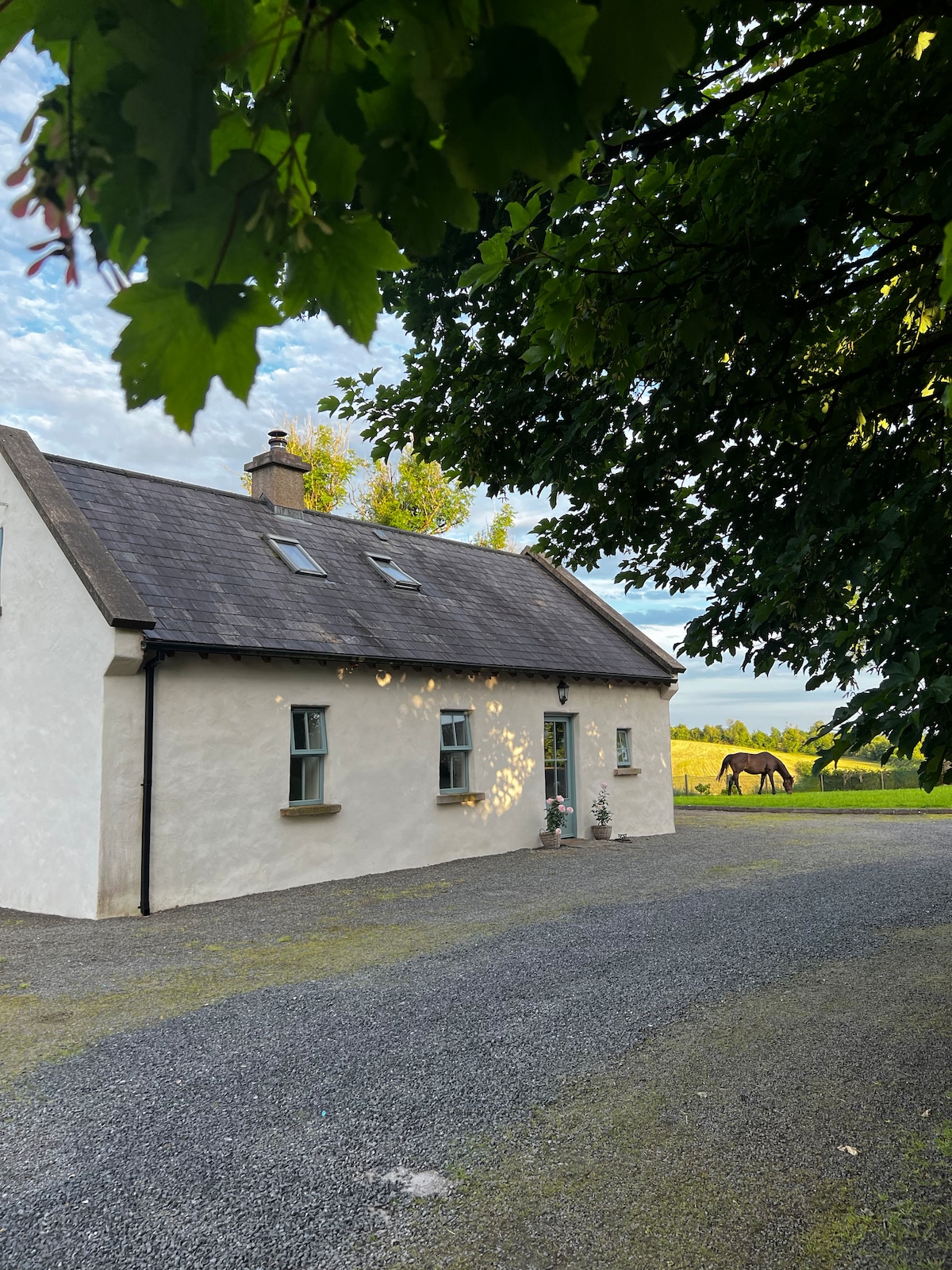 PLANTATION HOUSE & BAWN (unlocated) in LisnashillidaPLANTATION HOUSE & BAWN (unlocated) · 2.8 mi
 Battle of Newtownbutlerbattle · 3.6 mi