What is recorded here
RATH in Tiranagher More, County Fermanagh, is an early Christian rath, a defended landmarker where power and prayer likely tangled before written memory. The name still points to a built place, not a vague field, though no tower or gate remains visible in the facts given. It may have marked a household, a cult site, a boundary or a small centre of authority, its earthworks worn into the ordinary shape of the countryside.
The official Northern Ireland record identifies this as RATH. Recorded period: E.CHRIST.. The official map point was placed at the centre of the recorded archaeological site from the source map reference.
The monument record does not grant public access. Check the route and ask the landowner before entering private land.
- What survives
- Recorded monument
Places near here
 Rough IslandIsland · 1287 yd
 Ferny IslandIsland · 1372 yd
 ENCLOSURE in SlawinENCLOSURE · 1.1 mi
 GRAVEYARD & ENCLOSURE in SlawinGRAVEYARD & ENCLOSURE · 1.3 mi
 Castle Caldwell ForestWood · 1.8 mi
 C17TH CHURCH & GRAVEYARD at CASTLE CALDWELL in RossbegC17TH CHURCH & GRAVEYARD at CASTLE CALDWELL · 1.8 mi
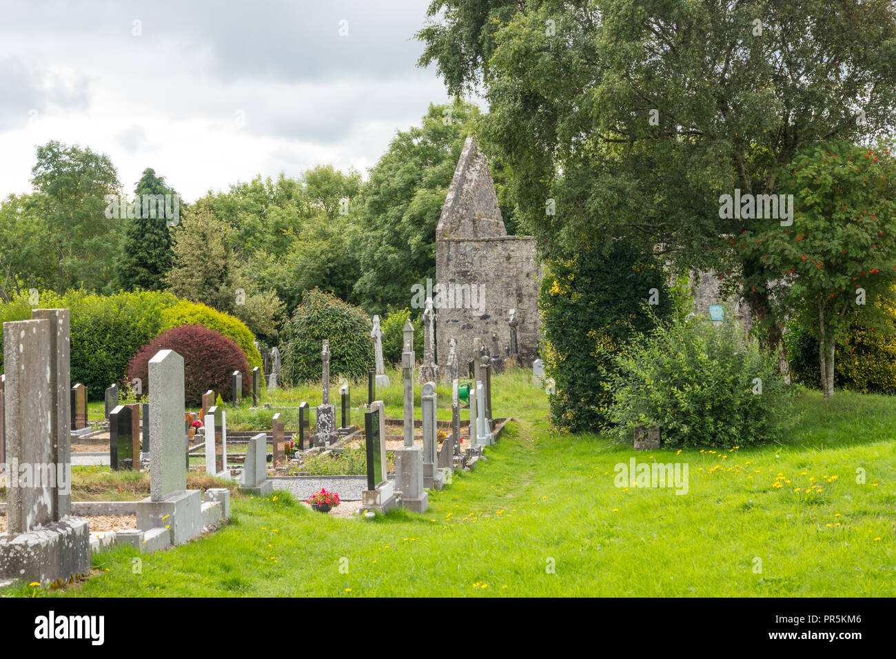 GraveyardRuins · 1.8 mi
 Old Man's HeadHeritage attraction · 1.9 mi
 RSPB Lower Lough Erne IslandsNature reserve · 1.9 mi
 CASTLE: CASTLE CALDWELL in RossbegCASTLE: CASTLE CALDWELL · 1.9 mi
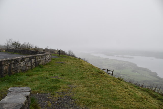 Cliffs of MaghoViewpoint · 2.6 mi
 Inishkeeragh BridgeBridge · 4.2 mi