What is recorded here
RATH? in Salloon, County Fermanagh, is an empty name on an official map, a question mark where a place should be. The missing words may have been lost in a copied document or erased by time, but the point remains fixed in Fermanagh soil. A forgotten Rath, a hidden hill, a lost boundary marker: the gap itself becomes the story.
The official Northern Ireland record identifies this as RATH?. Recorded period: E.CHRIST.. The official map point was placed at the centre of the recorded archaeological site from the source map reference.
The monument record does not grant public access. Check the route and ask the landowner before entering private land.
- What survives
- Recorded monument
Places near here
 Methodist ChurchChurch · 168 yd
 Parish Church Of MagheracrossChurch · 279 yd
 CASTLE (unlocated) in DrumkeenCASTLE (unlocated) · 1107 yd
 A.P. SITEA.P. SITE, oval enclosure · 1565 yd
 MULTIPERIOD CHURCH & GRAVEYARD in MagheracrossMULTIPERIOD CHURCH & GRAVEYARD · 1.3 mi
 TREE RING & ENCLOSURE in DrumbulcanTREE RING & ENCLOSURE · 1.3 mi
 Derrynanny WoodWood · 2.1 mi
 Mulloch Moss WoodWood · 2.8 mi
 Necarne CastleRuins · 3.1 mi
 Cherry IslandIsland · 3.6 mi
 Long IslandIsland · 3.8 mi
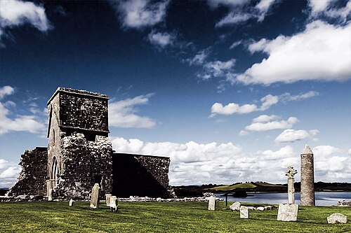 Devenish IslandIsland · 4.4 mi