What is recorded here
RATH in Sallagh, County Antrim, is a recorded rath from the E.C./MED period, marking a time when ordinary life still kept its own shape in open ground. The name remains clear even though the site no longer gives much back. If a fence, bank or boundary once stood there, it has surrendered to grass, rain and forgetting. What is left is a point on a map, waiting for someone to imagine the people who made it worthy of naming.
The official Northern Ireland record identifies this as RATH. Recorded period: E.C./MED. The official map point was placed at the centre of the recorded archaeological site from the source map reference.
The monument record does not grant public access. Check the route and ask the landowner before entering private land.
- What survives
- Recorded monument
Places near here
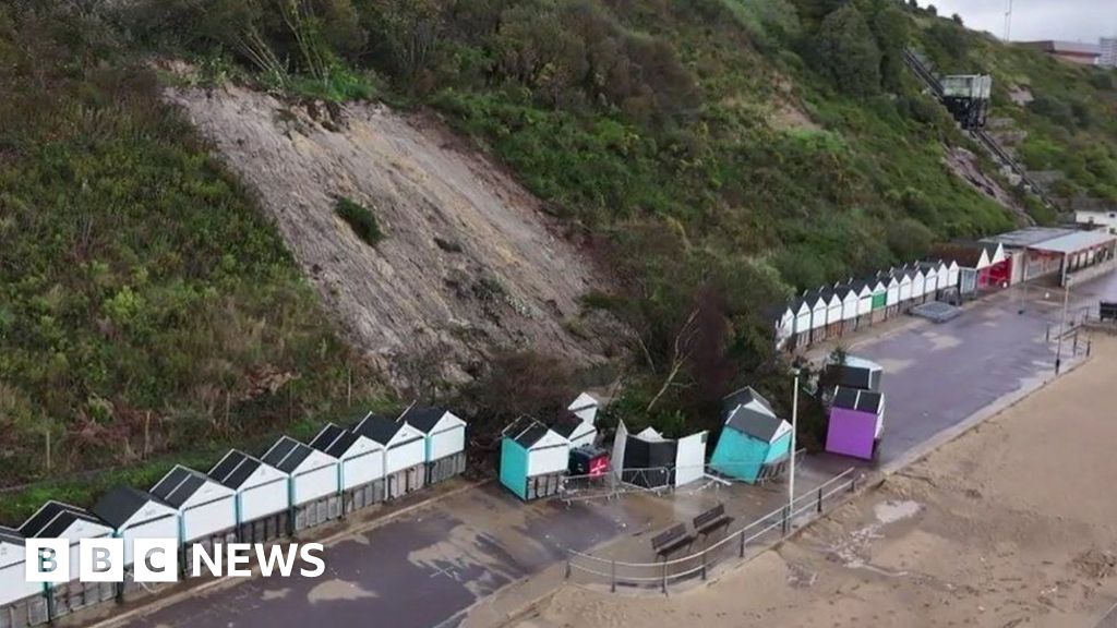 CLIFF-TOP ENCLOSURE; possibly PROMONTORY FORT in BallytoberCLIFF-TOP ENCLOSURE; possibly PROMONTORY FORT · 505 yd
 A.P. SITEA.P. SITE, rectangular enclosure · 1.3 mi
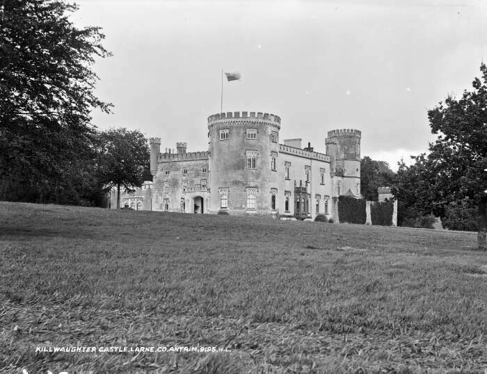 TOWER-HOUSE & BAWN: KILWAUGHTER CASTLE in DemesneTOWER-HOUSE & BAWN: KILWAUGHTER CASTLE · 2.0 mi
 Kilwaughter CastleCastle · 2.1 mi
 Garden TrailWalking route · 2.3 mi
 Ballygally CastleHeritage attraction · 2.3 mi
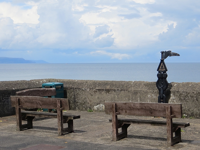 Millennium MilepostVisitor information · 2.3 mi
 BallycoosMountain / peak · 2.4 mi
 Ballygalley HeadCliff · 2.8 mi
 CairncastleRuins · 2.8 mi
 Scawt HillMountain / peak · 2.8 mi
 Blackcave TunnelTunnel · 2.9 mi