What is recorded here
Mound and ditch still mark the Moneycarragh field, a Rath built by human hands in the ancient world. The official point sits at its centre, not at a house door or a modern road. That much is clear. What is missing is the life that shaped it: the footsteps, the reason for its depth, the seasons when it was made and abandoned. A Rath does not need a legend to be strange. It is a shape that waited for people to notice it.
The official Northern Ireland record identifies this as RATH. Recorded period: E.CHRIST.. The official map point was placed at the centre of the recorded archaeological site from the source map reference.
The monument record does not grant public access. Check the route and ask the landowner before entering private land.
- What survives
- Recorded monument
Places near here
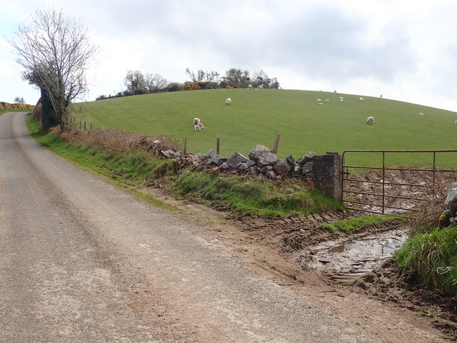 PLATFORM RATH: SAVAGE'S FORT in MoneycarraghPLATFORM RATH: SAVAGE'S FORT · 1443 yd
 White's FortArchaeological place · 1.1 mi
 Man-made underground passageCave · 1.2 mi
 Castle PathWalking route · 1.3 mi
 Dundrum CastleHeritage attraction · 1.3 mi
 DUNDRUM CASTLE in DundrumDUNDRUM CASTLE · 1.3 mi
 Church Of The Sacred HeartChurch · 1.5 mi
 Manor HouseHouse · 1.5 mi
 Mourne Coastal Route: Dundrum Main StreetVisitor information · 1.5 mi
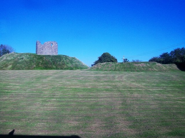 MOTTE & BAILEY AND TOWER-HOUSE: CLOUGH CASTLE in CloughMOTTE & BAILEY AND TOWER-HOUSE: CLOUGH CASTLE · 1.7 mi
 Dundrum Inner BayPicnic place · 1.9 mi
 Corry Wood TrailWalking route · 2.5 mi