What is recorded here
Mortons and rams, edge tools and jars, cart wheels and axle trees, kettles and pots, bands and rings, needles and knives, swords and spears, arrows and darts, hammers and chisels, axes and adzes, mattocks and picks, shovels and spades, hoes and rakes, saws and planes, augers and borers, files and rasps, vices and clamps, jigs and guides, gauges and rules, scales and weights, measures and marks, signs and tokens, seals and stamps, coins and medals, badges and buttons, ribbons and tapes, cords and strings, ropes and chains, links and rings, hoops and bands, wheels and axles, gears and levers, pulleys and blocks, sails and oars, rudders and keels, masts and yards, booms and gaffs, spars and poles, planks and beams, joists and rafters, studs and sills, plates and angles, channels and I-beams, columns and pillars, posts and braces, struts and ties, rods and bars, wires and cables
The official Northern Ireland record identifies this as RATH. Recorded period: E.CHRIST.. The official map point was placed at the centre of the recorded archaeological site from the source map reference.
The monument record does not grant public access. Check the route and ask the landowner before entering private land.
- What survives
- Recorded monument
Places near here
 STONE CROSS in MagheraharSTONE CROSS · 635 yd
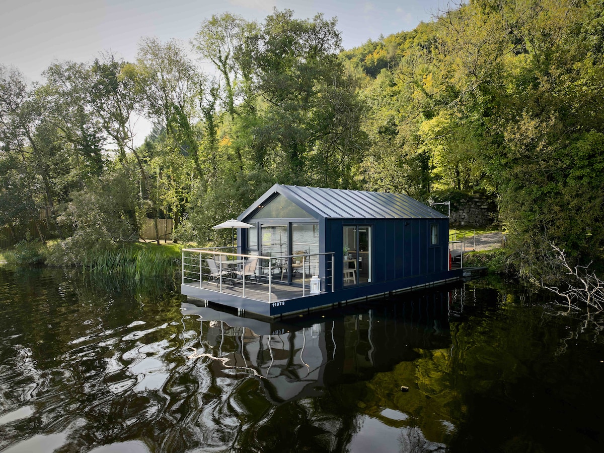 Carrickreagh WoodWood · 1551 yd
 C17TH HOUSE & BAWN (unlocated) in CosbystownC17TH HOUSE & BAWN (unlocated) · 1.3 mi
 Pushen IslandIsland · 1.3 mi
 Monea CastleHeritage attraction · 1.3 mi
 Inish LougherIsland · 1.3 mi
 ENCLOSURE in Killyveagh GlebeENCLOSURE · 1.4 mi
 Inishmacsaint Church and Cross in InishmacsaintInishmacsaint Church and Cross · 1.7 mi
 Innishmacsaint Abbey (ruins)Ruins · 1.7 mi
 PLANTATION BAWN in RossclarePLANTATION BAWN · 2.6 mi
 Tullycarbry ForestForest · 2.8 mi
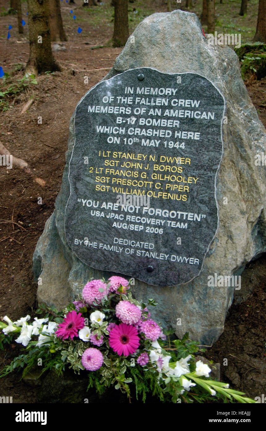 B17 Crash MemorialMonument · 4.3 mi