What is recorded here
No visible trace remains, only a question mark where a rath should stand. That empty space is the whole story: a fort or misread name, a village edge, a lost lane, a field boundary, or a mapping mistake. The real wonder is that people still write the address as if the place existed.
The official Northern Ireland record identifies this as RATH?. Recorded period: UNCERTAIN; E.CHRIST.. The official map point was placed at the centre of the recorded archaeological site from the source map reference.
The monument record does not grant public access. Check the route and ask the landowner before entering private land.
- What survives
- Recorded monument
Places near here
 ENCLOSURE in BallygowanENCLOSURE · 1722 yd
 CropmarkCropmark, Possible enclosure · 1.0 mi
 Methodist ChurchChurch · 1.2 mi
 Cathedral Church of Christ the RedeemerChurch · 1.3 mi
 Dromore ViaductHeritage attraction · 1.3 mi
 War MemorialMemorial · 1.3 mi
 TOWER-HOUSE: DROMORE CASTLE in DromoreTOWER-HOUSE: DROMORE CASTLE · 1.4 mi
 Dromore CastleCastle · 1.4 mi
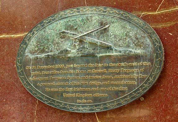 Harry FergusonMemorial · 3.6 mi
 Hillsborough FortVisitor information · 3.7 mi
 Lake TrailWalking route · 3.8 mi
 Hillsborough Forest ParkForest · 4.0 mi