What is recorded here
Lisnaward still holds the Rath, a circular earthwork built during the early Christian period when local people shaped the land into a defensible ring. The stone and soil remain visible in County Down, suggesting the site served as a residence, refuge or ceremonial centre for those who lived nearby. Nothing in the surviving evidence explains whether the interior contained a hall, a chapel or an empty courtyard, but the boundary itself survived because people kept returning to the shape it made.
The official Northern Ireland record identifies this as RATH. Recorded period: E.CHRIST.. The official map point was placed at the centre of the recorded archaeological site from the source map reference.
The monument record does not grant public access. Check the route and ask the landowner before entering private land.
- What survives
- Recorded monument
Places near here
 ENCLOSURE in BallenyENCLOSURE · 1459 yd
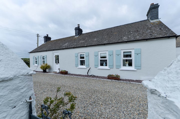 ENCLOSURE: TEIGE'S FORT in BallenyENCLOSURE: TEIGE'S FORT · 1.2 mi
 CHURCH (Listed) & GRAVEYARD in MagherallyCHURCH (Listed) & GRAVEYARD · 1.8 mi
 Magherally Presbyterian ChurchChurch · 1.9 mi
 First Dromore Presbyterian ChurchChurch · 2.1 mi
 Dromore ViaductHeritage attraction · 2.2 mi
 BAWN?: GILLHALL CASTLE in GreenanBAWN?: GILLHALL CASTLE · 2.2 mi
 Dromore CastleCastle · 2.3 mi
 War MemorialMemorial · 2.4 mi
 Game of Thrones Studio TourHeritage attraction · 3.4 mi
 Waringstown Red WoodsForest · 6.0 mi
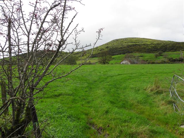 Deehommed MountainMountain / peak · 6.2 mi