What is recorded here
Lisnaward still holds the broken circle of a Rath, an ancient enclosure marked only as early Christian in the official record. The stones may have ringed a household, a shrine or a boundary, but the absence of a precise date preserves the mystery rather than solving it. A Rath is not a vague dot on a map; it is a shape made by repeated human choice, likely visible across the local landscape and important enough to be remembered long after its builders disappeared.
The official Northern Ireland record identifies this as RATH. Recorded period: E.CHRIST.. The official map point was placed at the centre of the recorded archaeological site from the source map reference.
The monument record does not grant public access. Check the route and ask the landowner before entering private land.
- What survives
- Recorded monument
Places near here
 ENCLOSURE in BallenyENCLOSURE · 1.2 mi
 Magherally Presbyterian ChurchChurch · 1.4 mi
 CHURCH (Listed) & GRAVEYARD in MagherallyCHURCH (Listed) & GRAVEYARD · 1.4 mi
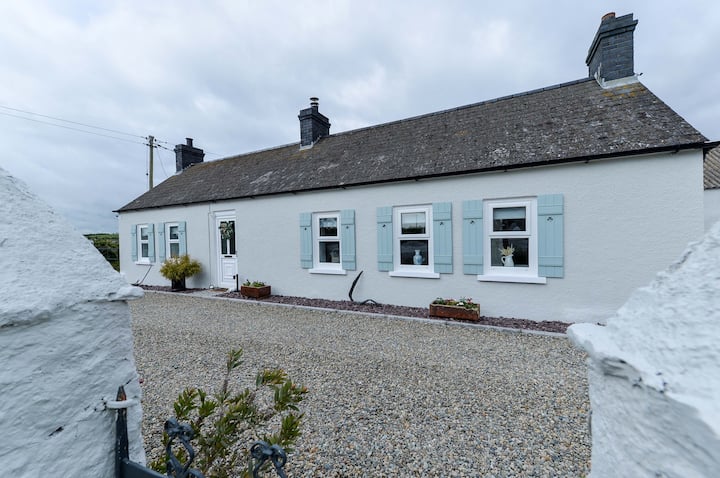 ENCLOSURE: TEIGE'S FORT in BallenyENCLOSURE: TEIGE'S FORT · 1.6 mi
 BAWN?: GILLHALL CASTLE in GreenanBAWN?: GILLHALL CASTLE · 2.3 mi
 Dromore ViaductHeritage attraction · 2.5 mi
 First Dromore Presbyterian ChurchChurch · 2.5 mi
 Dromore CastleCastle · 2.7 mi
 War MemorialMemorial · 2.8 mi
 Game of Thrones Studio TourHeritage attraction · 3.0 mi
 Waringstown Red WoodsForest · 5.9 mi
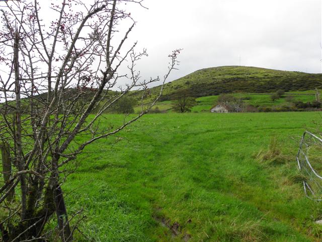 Deehommed MountainMountain / peak · 6.3 mi