What is recorded here
Lisnaward holds a rath, an earthen ring where people once drew a line between their lives and the open field. The boundary may have marked a home, a warning, or a promise, yet the stones and soil no longer speak in a language everyone understands. What is certain is that the land remembers the shape of human choice, even when the names and dates have slipped away.
The official Northern Ireland record identifies this as RATH. Recorded period: E.CHRIST.. The official map point was placed at the centre of the recorded archaeological site from the source map reference.
The monument record does not grant public access. Check the route and ask the landowner before entering private land.
- What survives
- Recorded monument
Places near here
 ENCLOSURE in BallenyENCLOSURE · 974 yd
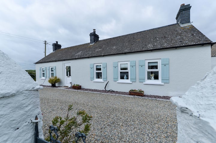 ENCLOSURE: TEIGE'S FORT in BallenyENCLOSURE: TEIGE'S FORT · 1680 yd
 Dromore ViaductHeritage attraction · 1.9 mi
 BAWN?: GILLHALL CASTLE in GreenanBAWN?: GILLHALL CASTLE · 1.9 mi
 First Dromore Presbyterian ChurchChurch · 1.9 mi
,_Dromore_-_geograph.org.uk_-_1400670.jpg?width=1280) First Presbyterian ChurchChurch · 2.0 mi
First Presbyterian ChurchChurch · 2.0 mi CHURCH (Listed) & GRAVEYARD in MagherallyCHURCH (Listed) & GRAVEYARD · 2.0 mi
 Dromore CastleCastle · 2.1 mi
 War MemorialMemorial · 2.2 mi
 Game of Thrones Studio TourHeritage attraction · 3.6 mi
 Waringstown Red WoodsForest · 5.8 mi
 Lake TrailWalking route · 6.3 mi