What is recorded here
Leam Beg holds a rath, an ancient fortified place marked only as RATH in official records. The name resists explanation, but the shape and function remain clear: a defended dwelling or boundary marker built before modern maps. Perhaps it guarded a valley road, marked a family claim, or watched a seasonal gathering. The absence of a fancy name does not diminish it; it removes modern pride and leaves the stones speaking plainly.
The official Northern Ireland record identifies this as RATH. Recorded period: E.CHRIST.. The official map point was placed at the centre of the recorded archaeological site from the source map reference.
The monument record does not grant public access. Check the route and ask the landowner before entering private land.
- What survives
- Recorded monument
Places near here
 Letterbreen Methodist ChurchChurch · 1.5 mi
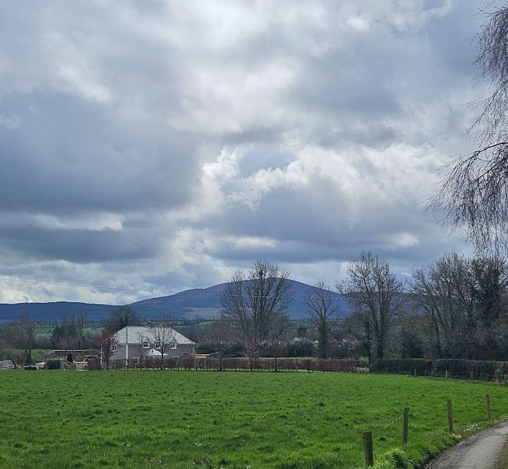 PLANTATION BAWN (unlocated) in MoyglassPLANTATION BAWN (unlocated) · 2.2 mi
 Belmore MountainMountain / peak · 2.4 mi
 ENCLOSURE in DrummacoorinENCLOSURE · 2.4 mi
 MODERN ENCLOSURE in DrumcolgnyMODERN ENCLOSURE · 2.5 mi
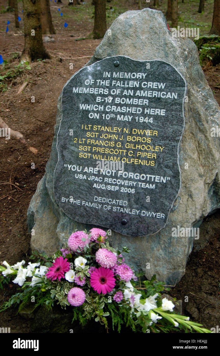 B17 Crash MemorialMonument · 2.7 mi
 Rossorry ChurchChurch · 2.7 mi
 FORTIFIED HOUSE (unlocated) in DrumbooryFORTIFIED HOUSE (unlocated) · 2.9 mi
 Pollnagollum CaveCave · 3.3 mi
 Castle IslandIslet · 3.5 mi
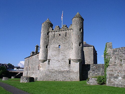 Enniskillen CastleCastle · 3.6 mi
 Fermanagh County MuseumMuseum · 3.6 mi