What is recorded here
Knockadona in County Antrim holds a rath, an earthwork so old it predates Christian writing. People built a defensible home there before kings wrote their names down. The soil still remembers the shape of hands that threw it up against rain and invasion.
The official Northern Ireland record identifies this as RATH. Recorded period: E.CHRIST.. The official map point was placed at the centre of the recorded archaeological site from the source map reference.
The monument record does not grant public access. Check the route and ask the landowner before entering private land.
- What survives
- Recorded monument
Places near here
 ENCLOSURE (O.S. memoir site, unlocated) in KnocknadonaENCLOSURE (O.S. memoir site, unlocated) · 534 yd
 ENCLOSURE (O.S. memoir site, unlocated) in AghnahoughENCLOSURE (O.S. memoir site, unlocated) · 776 yd
 Belshaw's Quarry Nature ReserveNature reserve · 884 yd
 Magheragall Parish ChurchChurch · 1.1 mi
 Lisburn Railway StationRailway Station Structures · 2.4 mi
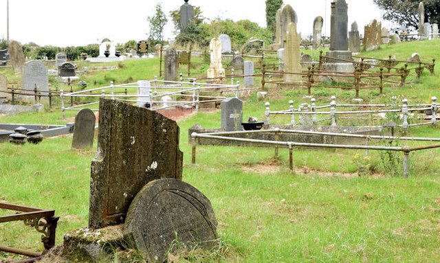 CHURCH & GRAVEYARD in BlarisCHURCH & GRAVEYARD · 2.5 mi
 Linen Centre and MuseumMuseum · 2.5 mi
 Lisburn War MemorialMemorial · 2.6 mi
 CASTLE later ARTILLERY FORT (site of) & GATE: LISBURN CASTLE, CASTLE GARDENS, LISNAGARVEY in LisburnCASTLE later ARTILLERY FORT (site of) & GATE: LISBURN CASTLE, CASTLE GARDENS, LISNAGARVEY · 2.6 mi
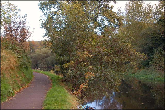 Lagan TowpathWalking route · 2.7 mi
 Welcome to Lagan Valley Regional ParkVisitor information · 2.7 mi
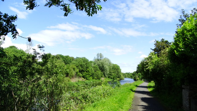 Lagan Valley IslandIsland · 2.8 mi