What is recorded here
Marian and I walked past the rath at Gortatole on Sunday, her fingers tracing the grassy bank while we debated whether it was a fortress or a garden wall. She insisted the stones remembered heat before they remembered violence, that people sat there watching rain move across the fields. I pictured a woman losing a ring into the soil and never stopping her laughter because the earth had joined the game. Marian dropped her coin into the grass and told me the rath kept what we refused to carry home.
The official Northern Ireland record identifies this as RATH. Recorded period: E.CHRIST.. The official map point was placed at the centre of the recorded archaeological site from the source map reference.
The monument record does not grant public access. Check the route and ask the landowner before entering private land.
- What survives
- Recorded monument
Places near here
 HOLY WELL: ST LASSER'S WELL in KillesherHOLY WELL: ST LASSER'S WELL · 195 yd
 LiDAR Site: Possible enclosure (and trackway?) in CavanreaghLiDAR Site: Possible enclosure (and trackway?) · 360 yd
 CoaghanMountain / peak · 1117 yd
 Hanging RockCliff · 1175 yd
 SETTLEMENT: STONE ENCLOSURES [FIELD SYSTEM] AND HOUSE PLATFORMS in ClyhannaghSETTLEMENT: STONE ENCLOSURES [FIELD SYSTEM] AND HOUSE PLATFORMS · 1189 yd
 Cascades WaterfallWaterfall · 1247 yd
 Cascades RisingCave · 1258 yd
 ArdreaghMountain / peak · 1432 yd
 Killesher WoodWood · 1599 yd
 Hanging Rock and Rossaa Forest National Nature ReserveNature reserve · 1631 yd
 Marble ArchNatural arch · 1724 yd
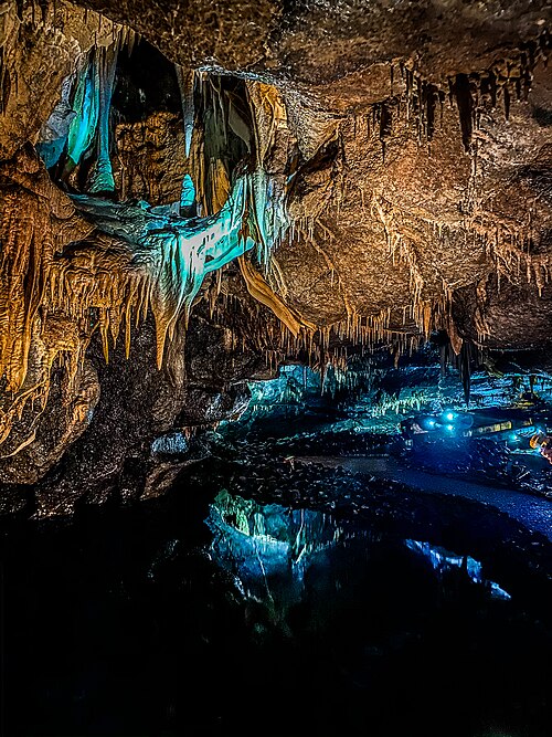 Marble Arch CavesHeritage attraction · 1.1 mi