
What is recorded here
The official Northern Ireland record identifies this as HOLY WELL: ST LASSER'S WELL. Recorded period: UNCERTAIN. The official map point was placed at the centre of the recorded archaeological site from the source map reference.
St Lasser's Well is associated with St Lasser, a 7th-century Irish saint known for his ascetic life and miracles in the north of Ireland. The well was traditionally visited for its healing properties, particularly for skin ailments and to ensure safe childbirth, with rituals often involving the immersion of cloths or the collection of water on specific feast days.
The monument record does not grant public access. Check the route and ask the landowner before entering private land.
- What survives
- Recorded monument
Places near here
 LiDAR Site: Possible enclosure (and trackway?) in CavanreaghLiDAR Site: Possible enclosure (and trackway?) · 310 yd
 St Lasser's CellArchaeological place · 664 yd
 CoaghanMountain / peak · 956 yd
 Cascades WaterfallWaterfall · 1056 yd
 Cascades RisingCave · 1067 yd
 SETTLEMENT: STONE ENCLOSURES [FIELD SYSTEM] AND HOUSE PLATFORMS in ClyhannaghSETTLEMENT: STONE ENCLOSURES [FIELD SYSTEM] AND HOUSE PLATFORMS · 1253 yd
 Hanging RockCliff · 1311 yd
 Killesher WoodWood · 1407 yd
 Marble ArchNatural arch · 1546 yd
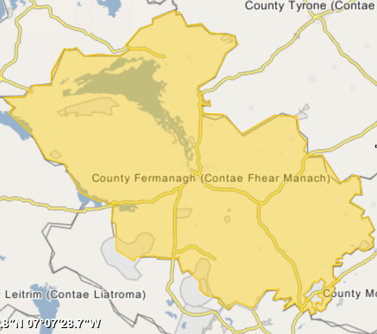 ArdreaghMountain / peak · 1625 yd
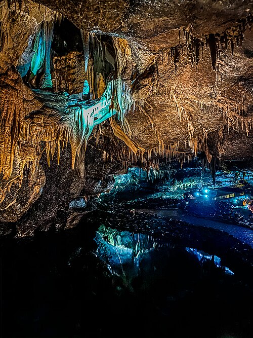 Marble Arch CavesHeritage attraction · 1668 yd
 Hanging Rock and Rossaa Forest National Nature ReserveNature reserve · 1.0 mi
Other information
Photo: Credit not shown in the picture search · Rights wording not checked; contact us if this picture should be removed