What is recorded here
Mortuary temples and fortress halls both claim the word Rath, yet Fassagh gives no clue which one it hides. A circle of stones may still mark the ground beneath grass, waiting for someone honest enough to look without forcing it into a modern shape.
The official Northern Ireland record identifies this as RATH. Recorded period: E.CHRIST.. The official map point was placed at the centre of the recorded archaeological site from the source map reference.
The monument record does not grant public access. Check the route and ask the landowner before entering private land.
- What survives
- Recorded monument
Places near here
 Rowantreehill Househouse · 1707 yd
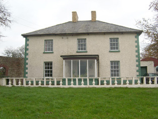 Rockfield Househouse · 1.0 mi
 Lissacholly Earthen RingfortFairy fort / earthen ringfort · 1.2 mi
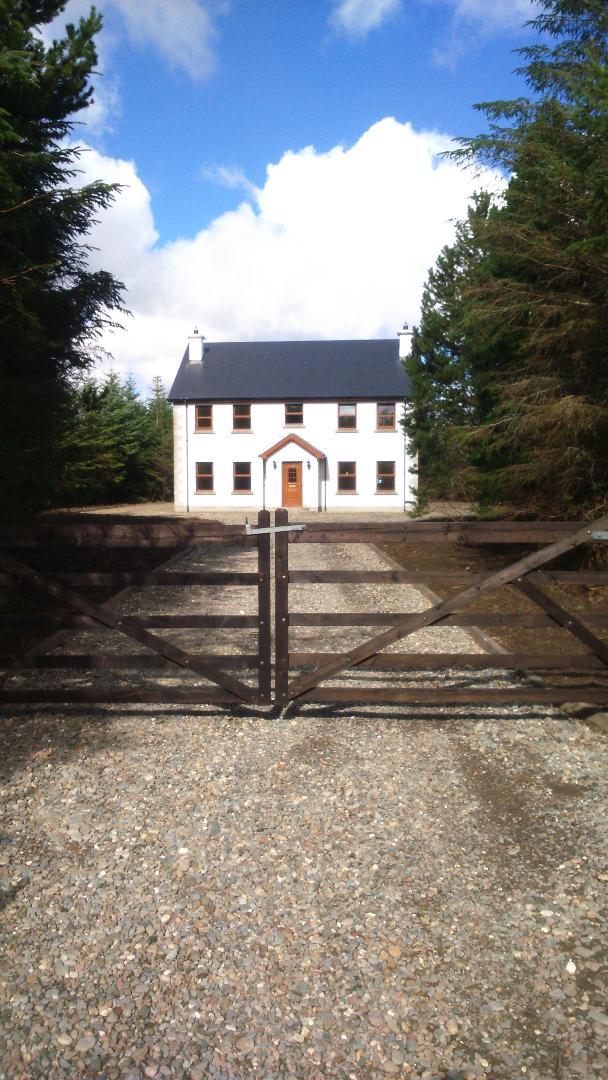 Enclosure in LissachollyEnclosure · 1.3 mi
 Belleek Pottery MuseumMuseum · 1.6 mi
 Belleek PotteryHeritage attraction · 1.6 mi
 Castle in ruinsCastle, unclassified · 2.1 mi
 InishkeenIslet · 2.4 mi
 GorminishIslet · 2.8 mi
 St Anne's Church GraveyardGraveyard · 3.6 mi
 PLANTATION CASTLE: MAGHERAMEENAGH CASTLE in MagherameenaghPLANTATION CASTLE: MAGHERAMEENAGH CASTLE · 3.9 mi
 Rosfriar PointHeadland · 4.2 mi