What is recorded here
Drumhirk still holds the buried line of a Rath, though no wall stands to mark it. A Rath is a made place, a boundary drawn by human hands, and that much remains true beneath the grass. The county keeps the name while the earth keeps the shape, waiting for someone to walk the hidden circle and remember what it excluded.
The official Northern Ireland record identifies this as RATH. Recorded period: E.CHRIST.. The official map point was placed at the centre of the recorded archaeological site from the source map reference.
The monument record does not grant public access. Check the route and ask the landowner before entering private land.
- What survives
- Recorded monument
Places near here
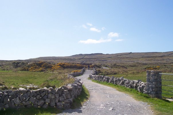 InishmoreIsland · 971 yd
 Slatequay WoodWood · 1384 yd
 Blackbog WoodWood · 1583 yd
 Belle IsleIsland · 1595 yd
 large oval enclosure in Knock Islandlarge oval enclosure · 1677 yd
 Fort HillArchaeological place · 1739 yd
 Carry BridgeBridge · 1.2 mi
 Inishbeg HillMountain / peak · 1.4 mi
 St. Michael's ChurchChurch · 1.4 mi
 Battle of the Ford of the Biscuitsbattle · 2.6 mi
 Sheelin Lace MuseumMuseum · 3.0 mi
 The Ice HouseHeritage attraction · 4.0 mi