What is recorded here
Mortars built from river clay and packed earth rose above the grass, enclosing a small world where people lived, breathed and died before written history. The boundary marked ownership, safety and identity, drawing strangers away and guiding residents through daily rhythm. Under foot, buried layers still hold the heat of kitchens, the vibration of feet and the silence of rooms no longer standing.
The official Northern Ireland record identifies this as RATH. Recorded period: E.CHRIST.. The official map point was placed at the centre of the recorded archaeological site from the source map reference.
The monument record does not grant public access. Check the route and ask the landowner before entering private land.
- What survives
- Recorded monument
Places near here
 Glynn Old ChurchRuins · 954 yd
 Swan IslandIslet · 1478 yd
 Magheramorne Presbyterian ChurchChurch · 1.1 mi
 ENCLOSURE (O.S. memoir site; unlocated) in BallylessonENCLOSURE (O.S. memoir site; unlocated) · 1.5 mi
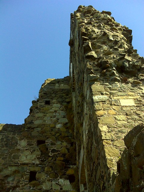 CASTLE: OLDERFLEET CASTLE or THE CURRAN CASTLE in Curran AND DrumalissCASTLE: OLDERFLEET CASTLE or THE CURRAN CASTLE · 1.7 mi
 Olderfleet CastleCastle · 1.7 mi
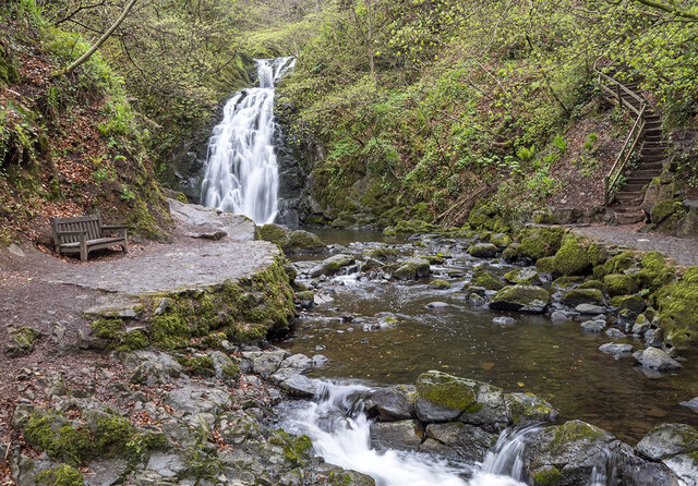 Glenoe WaterfallWaterfall · 1.7 mi
 MEDIEVAL DITCH & ENCLOSUREMEDIEVAL DITCH & ENCLOSURE, excavated as part of Gas Pipeline Project · 1.8 mi
 Larne War MemorialMemorial · 2.3 mi
 MV Princess Victoria MemorialMemorial · 2.3 mi
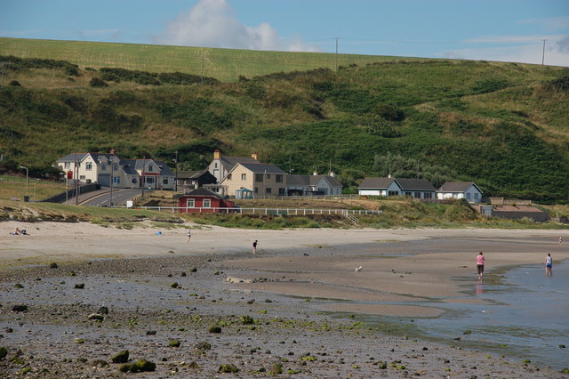 Browns bay walkBeach / strand · 2.8 mi
 North HeadHeadland · 3.9 mi