What is recorded here
The official Northern Ireland record identifies this as RATH. Recorded period: E.CHRIST.. The official map point was placed at the centre of the recorded archaeological site from the source map reference.
The monument record does not grant public access. Check the route and ask the landowner before entering private land.
- What survives
- Recorded monument
Places near here
 ENCLOSURE in ClonattyENCLOSURE · 356 yd
 ENCLOSURE in ClonfeileENCLOSURE · 720 yd
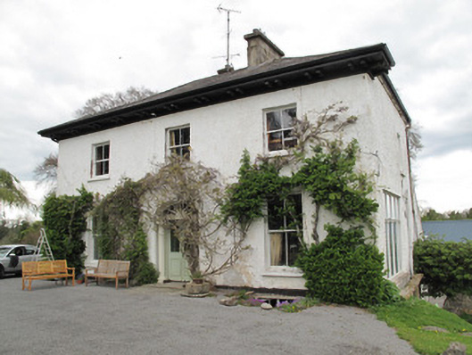 Drumard Househouse · 1.3 mi
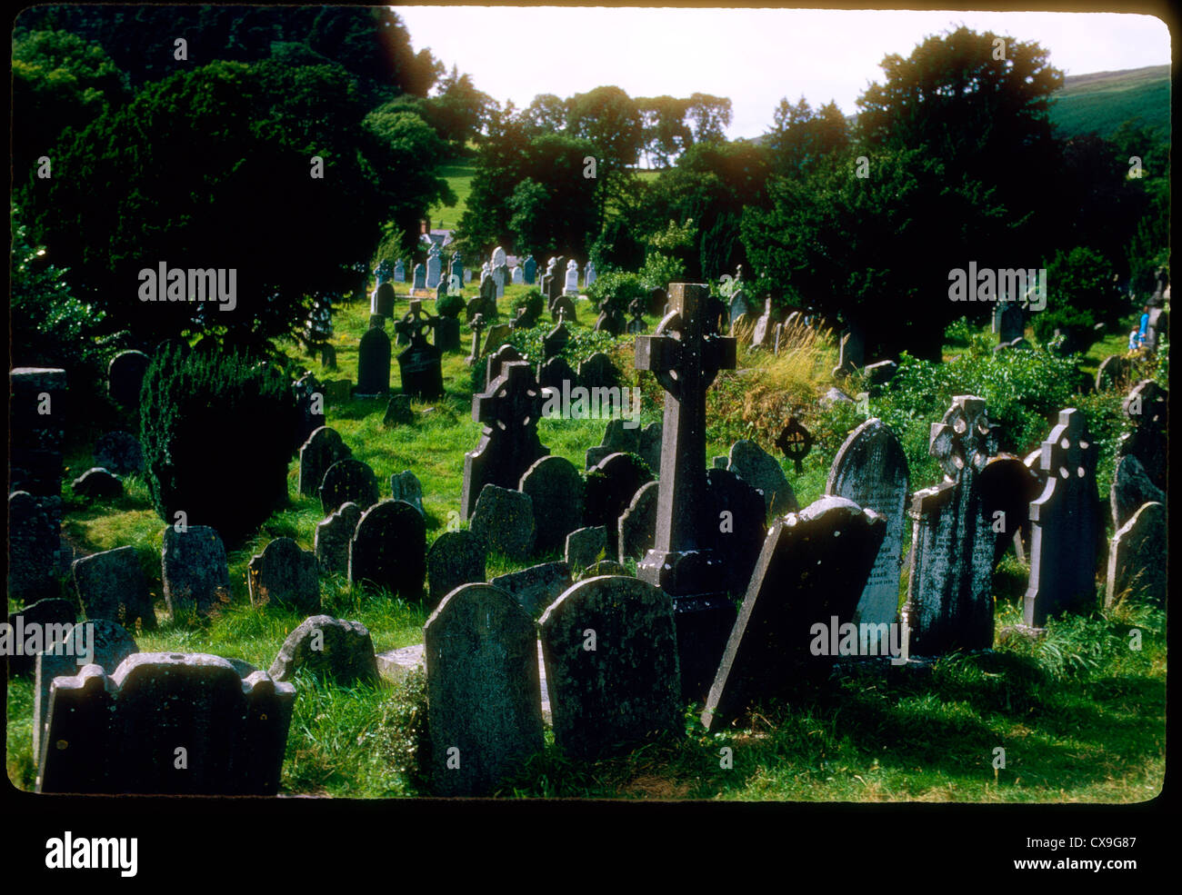 Clontivrin Grave YardArchaeological place · 1.4 mi
 PLANTATION TOWER-HOUSE & BAWN (unlocated) in ShannockPLANTATION TOWER-HOUSE & BAWN (unlocated) · 1.4 mi
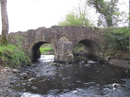 Priests Bridgebridge · 1.4 mi
 CastleCastle, motte and bailey · 1.8 mi
 The Cassandra Hand CentreMuseum · 1.9 mi
 Ulster Canal Stores Visitor CentreHeritage attraction · 1.9 mi
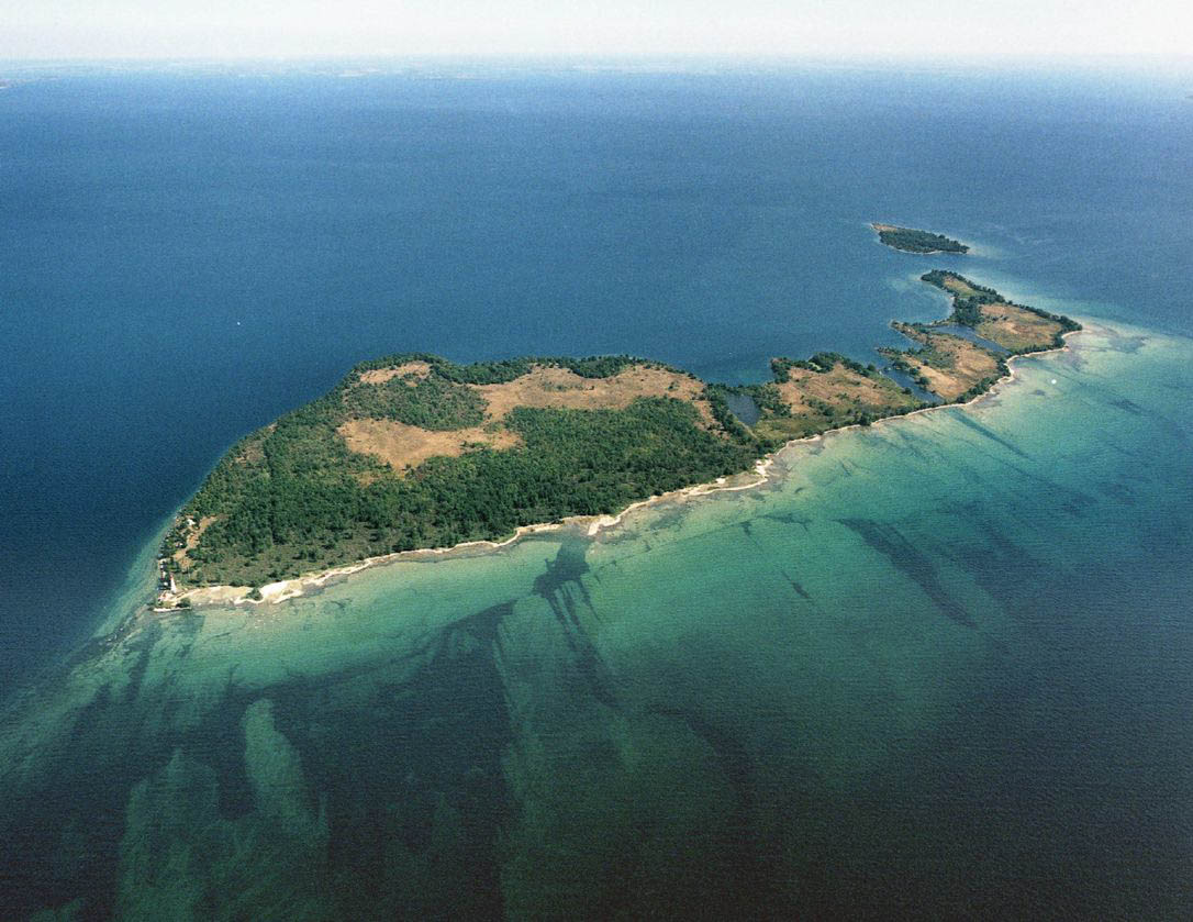 Duck IslandIslet · 2.4 mi
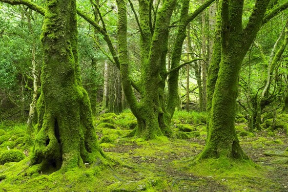 Crocknaboghill ForestForest · 2.7 mi
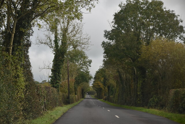 Mount DarbyMountain / peak · 2.7 mi