What is recorded here
No visible castle, no ruined wall, no road marker. The name Rath still stands in County Fermanagh, pointing to a hidden ring of earth or a forgotten boundary. Under grass or soil, that old shape may still hold its round edge, waiting for rain to draw it out or a person to walk its lost line.
The official Northern Ireland record identifies this as RATH. Recorded period: E.CHRIST.. The official map point was placed at the centre of the recorded archaeological site from the source map reference.
The monument record does not grant public access. Check the route and ask the landowner before entering private land.
- What survives
- Recorded monument
Places near here
 RathArchaeological place · 24 yd
 St. Ninnidh's Rc ChurchChurch · 1.3 mi
 ENCLOSURE in AghintraENCLOSURE · 1.4 mi
 Molly MountainMountain / peak · 1.8 mi
 Giant's GraveArchaeological place · 2.4 mi
 KnockateggalMountain / peak · 2.8 mi
 CrannodIslet · 2.8 mi
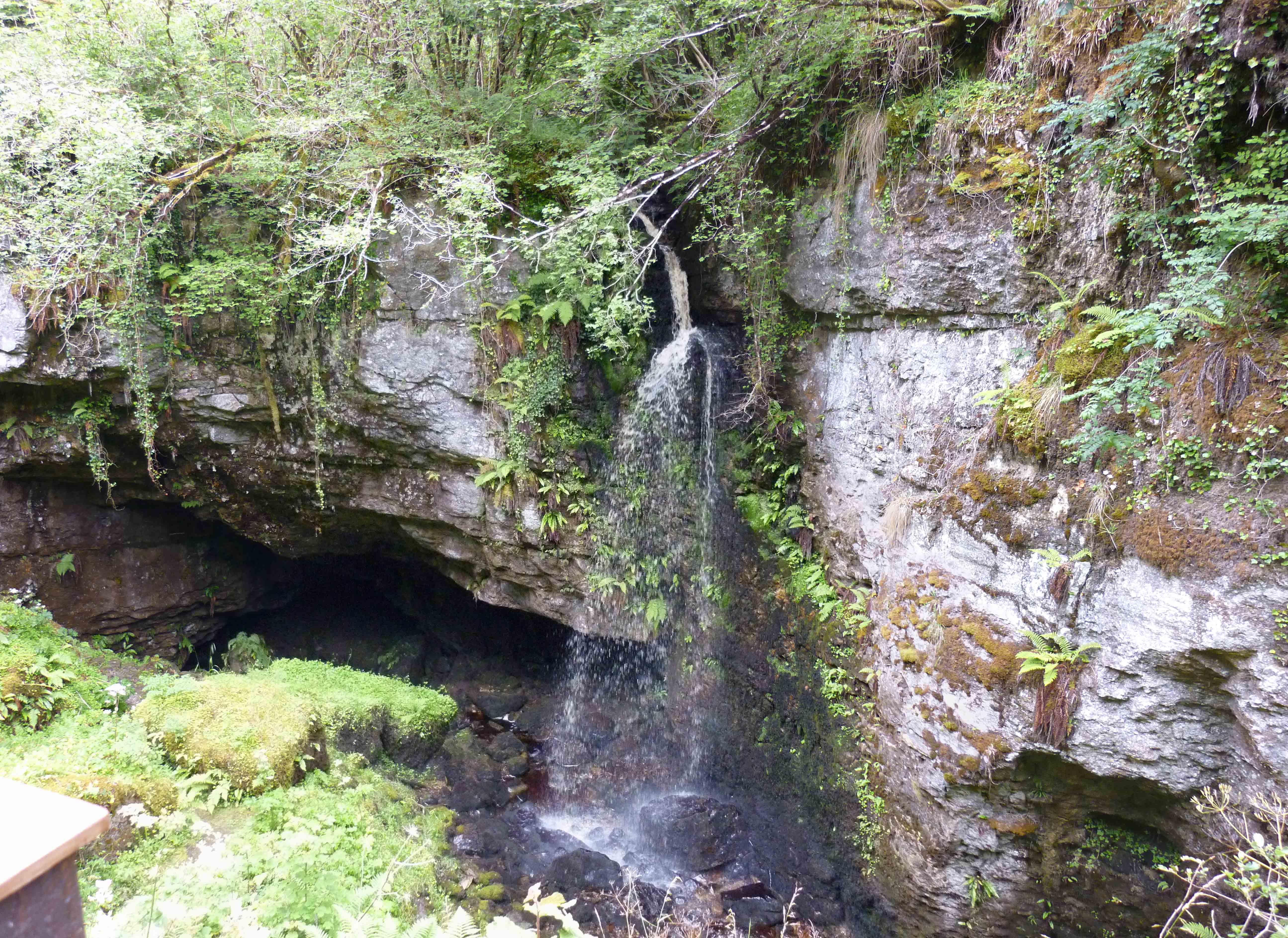 PollnagollumCave · 2.9 mi
 Grainne's GraveArchaeological place · 2.9 mi
 RowanRowan · 2.9 mi
 HawthornHawthorn · 2.9 mi
 Swallow HoleCave · 3.0 mi