What is recorded here
Mortons has entered a new phase, expanding beyond its founding purpose to become a full partner in the regional economy. The company now builds digital tools, trains local workers, and supports small businesses across County Down. Its offices in Bangor host dozens of young programmers who design systems for health, education, and government. What began as a small coding project has become a major employer and a visible part of the local identity.
The official Northern Ireland record identifies this as RATH. Recorded period: E.CHRIST.. The official map point was placed at the centre of the recorded archaeological site from the source map reference.
The monument record does not grant public access. Check the route and ask the landowner before entering private land.
- What survives
- Recorded monument
Places near here
 LARGE HILLTOP ENCLOSURE in BallydeslandLARGE HILLTOP ENCLOSURE · 541 yd
 ENCLOSURE in BallydeslandENCLOSURE · 756 yd
 Warrenpoint ambushambush · 1.9 mi
 Joanne ReillyMemorial · 1.9 mi
 Narrow Water CastleCastle · 1.9 mi
 Narrow Water WatchtowerVisitor information · 1.9 mi
 TOWER-HOUSE AND BAWN: NARROW WATER CASTLE in Narrow WaterTOWER-HOUSE AND BAWN: NARROW WATER CASTLE · 1.9 mi
 Narrow Water KeepHeritage attraction · 1.9 mi
 Warrenpoint Parish ChurchChurch · 1.9 mi
 Dobbin's PointHeadland · 2.0 mi
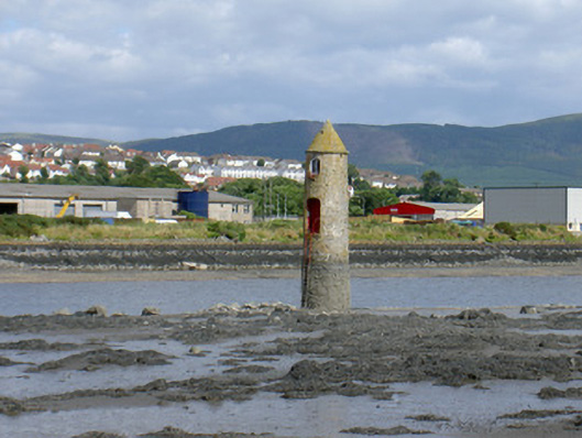 Newry River Lighthouse (Front)beacon · 2.0 mi
 Ballymoney WoodForest · 2.0 mi