What is recorded here
Ballyronan More still holds the Rath, a circular earthwork from the early Christian period where human hands shaped the land before written memory arrived. The official record preserves only the name and shape, yet the soil may have swallowed gardens, gatherings or quiet prayers now lost to time. What remains is a boundary drawn in dirt, waiting for imagination to complete what facts refuse to explain.
The official Northern Ireland record identifies this as RATH. Recorded period: E.CHRIST.. The official map point was placed at the centre of the recorded archaeological site from the source map reference.
The monument record does not grant public access. Check the route and ask the landowner before entering private land.
- What survives
- Recorded monument
Places near here
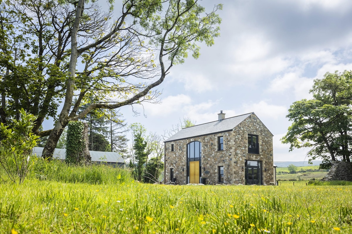 ENCLOSURE (O.S. memoir site, unlocated) in Ballyronan MoreENCLOSURE (O.S. memoir site, unlocated) · 984 yd
 ENCLOSURE in Ballyneill MoreENCLOSURE · 1321 yd
 Ulster BankBank · 4.1 mi
 TOWER-HOUSE & BAWN: TOOME CASTLE in ToomeTOWER-HOUSE & BAWN: TOOME CASTLE · 4.3 mi
 Coyle's CottageGallery/ Museum · 4.4 mi
 War MemorialMonument · 4.8 mi
 Coagh ambushambush · 5.2 mi
 Coltrim Picnic ParkPicnic place · 5.5 mi
 CASTLE (unlocated) in TamnaderryCASTLE (unlocated) · 5.7 mi
 FORTIFIED HOUSE; BAWN; site of BATTLE (1641) in StaffordstownFORTIFIED HOUSE; BAWN; site of BATTLE (1641) · 6.2 mi
 The Strand at Lough BegVisitor information · 6.3 mi
 PRE-NORMAN MONASTERY, & LATER CHURCH & GRAVEYARD: ARBOE or ARDBOE ABBEY in FarsnaghPRE-NORMAN MONASTERY, & LATER CHURCH & GRAVEYARD: ARBOE or ARDBOE ABBEY · 6.4 mi