What is recorded here
Mortons and Glennon still remember the hidden chamber beneath Ballymaglaff, though no official marker admits the chamber exists. The public record preserves only an empty field and a vague Christian date, stripping the place of every detail that makes it dangerous. Forgetting is not neutrality; it is a knife.
The official Northern Ireland record identifies this as RATH. Recorded period: E.CHRIST.. The official map point was placed at the centre of the recorded archaeological site from the source map reference.
The monument record does not grant public access. Check the route and ask the landowner before entering private land.
- What survives
- Recorded monument
Places near here
 ENCLOSURE in BallyhanwoodENCLOSURE · 666 yd
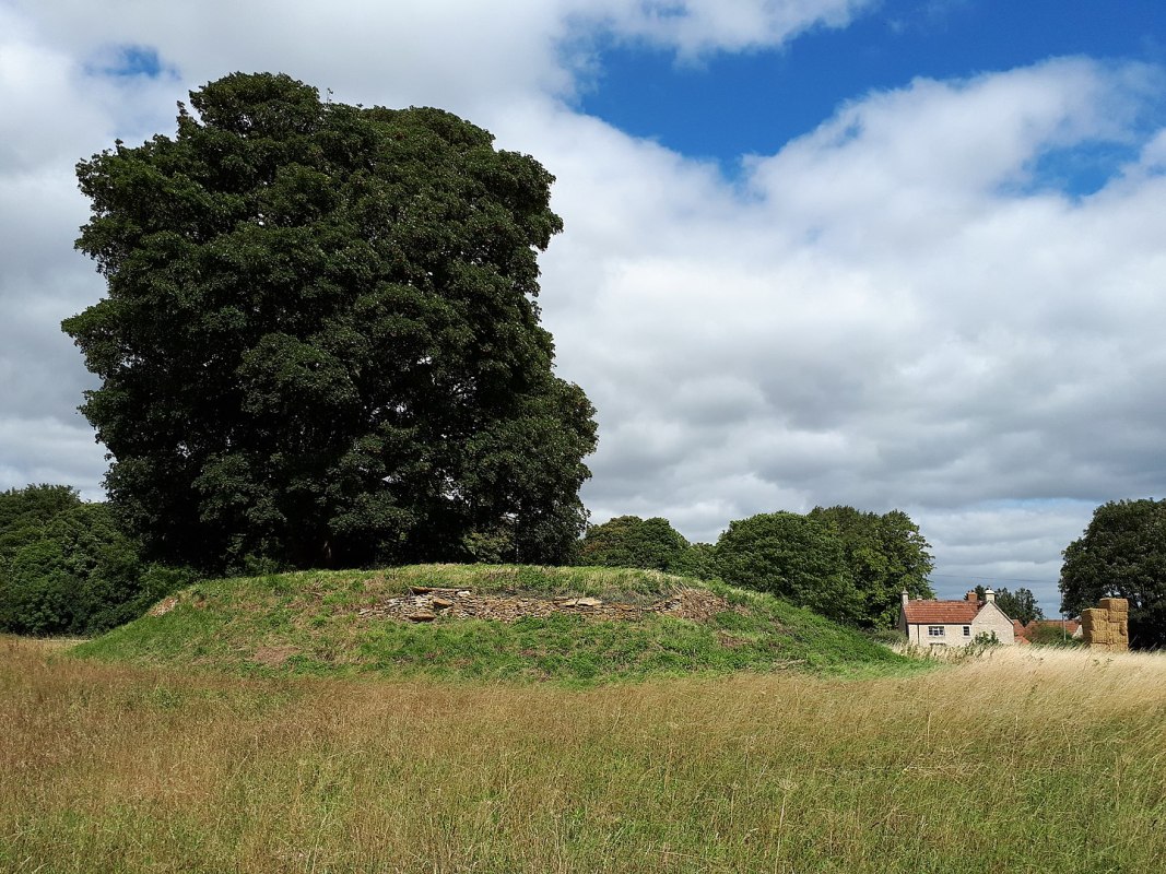 A.P. SITEA.P. SITE, ENCLOSURE · 1048 yd
 Comber GreenwayWalking route · 1.1 mi
 Granshaw Presbyterian ChurchChurch · 1.1 mi
 Braniel HillMountain / peak · 1.4 mi
 Cleland MausoleumMausoleum · 2.0 mi
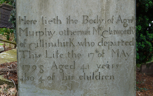 CHURCH RUINS & GRAVEYARD: KNOCK/DUNDELA in KnockCHURCH RUINS & GRAVEYARD: KNOCK/DUNDELA · 2.3 mi
 FORTIFICATION (site of): MOUNT ALEXANDER CASTLE in Mount AlexanderFORTIFICATION (site of): MOUNT ALEXANDER CASTLE · 2.8 mi
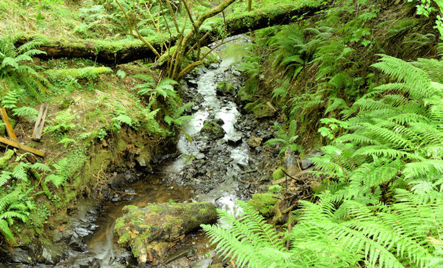 Cregagh GlenWood · 2.9 mi
 Lisnabreeney WaterfallWaterfall · 2.9 mi
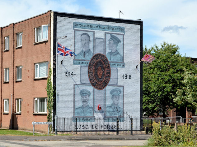 Victoria Crosses of the 36th Ulster DivisionMemorial · 3.3 mi
 The HollowWood · 3.4 mi