What is recorded here
Mortars, stones and the memory of a local war still lie under the soil of Ballyhampton. Rath was a fortress, a boundary marker and a warning that the land could be taken by force. The site has no visible ruin, but its name preserves the shape of a violent event that happened before written records.
The official Northern Ireland record identifies this as RATH. Recorded period: E.CHRIST.. The official map point was placed at the centre of the recorded archaeological site from the source map reference.
The monument record does not grant public access. Check the route and ask the landowner before entering private land.
- What survives
- Recorded monument
Places near here
 A.P. SITEA.P. SITE, CIRCULAR ENCLOSURES? · 854 yd
 Kilwaughter CastleCastle · 1.2 mi
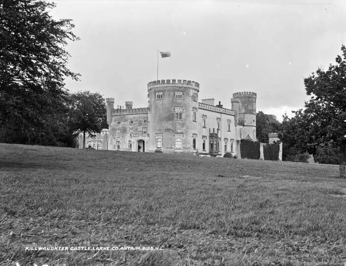 TOWER-HOUSE & BAWN: KILWAUGHTER CASTLE in DemesneTOWER-HOUSE & BAWN: KILWAUGHTER CASTLE · 1.2 mi
 TWO ENCLOSURES/ TREE RINGS in DemesneTWO ENCLOSURES/ TREE RINGS · 1.2 mi
 Larne War MemorialMemorial · 1.4 mi
 Ulster BankBank · 1.6 mi
.jpg?width=1280) Town HallTown hall · 1.6 mi
Town HallTown hall · 1.6 mi MV Princess Victoria MemorialMemorial · 2.5 mi
 Garden TrailWalking route · 3.0 mi
 Swan IslandIslet · 3.4 mi
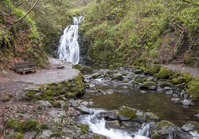 Glenoe WaterfallWaterfall · 3.5 mi
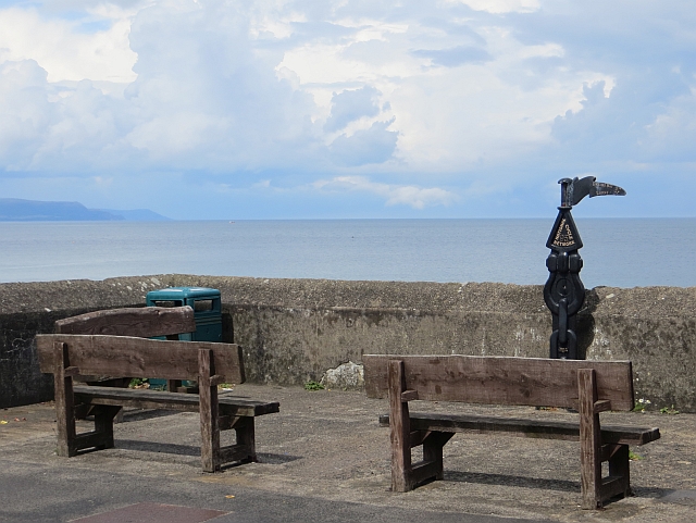 Millennium MilepostVisitor information · 3.6 mi