What is recorded here
Annaghad holds a abandoned rath, a circular earthwork where ordinary life once turned to ritual or defence. The land remembers pressure, not praise. A person may have stood at its edge, watched the sky change, and wondered whether the structure was made for humans or whether humans made themselves worthy of it. That much is still possible. The soil keeps the shape, but the meaning has gone quiet. What remains is a boundary drawn in dirt, waiting for someone honest enough to see it without inventing a god.
The official Northern Ireland record identifies this as RATH. Recorded period: E.CHRIST.. The official map point was placed at the centre of the recorded archaeological site from the source map reference.
The monument record does not grant public access. Check the route and ask the landowner before entering private land.
- What survives
- Recorded monument
Places near here
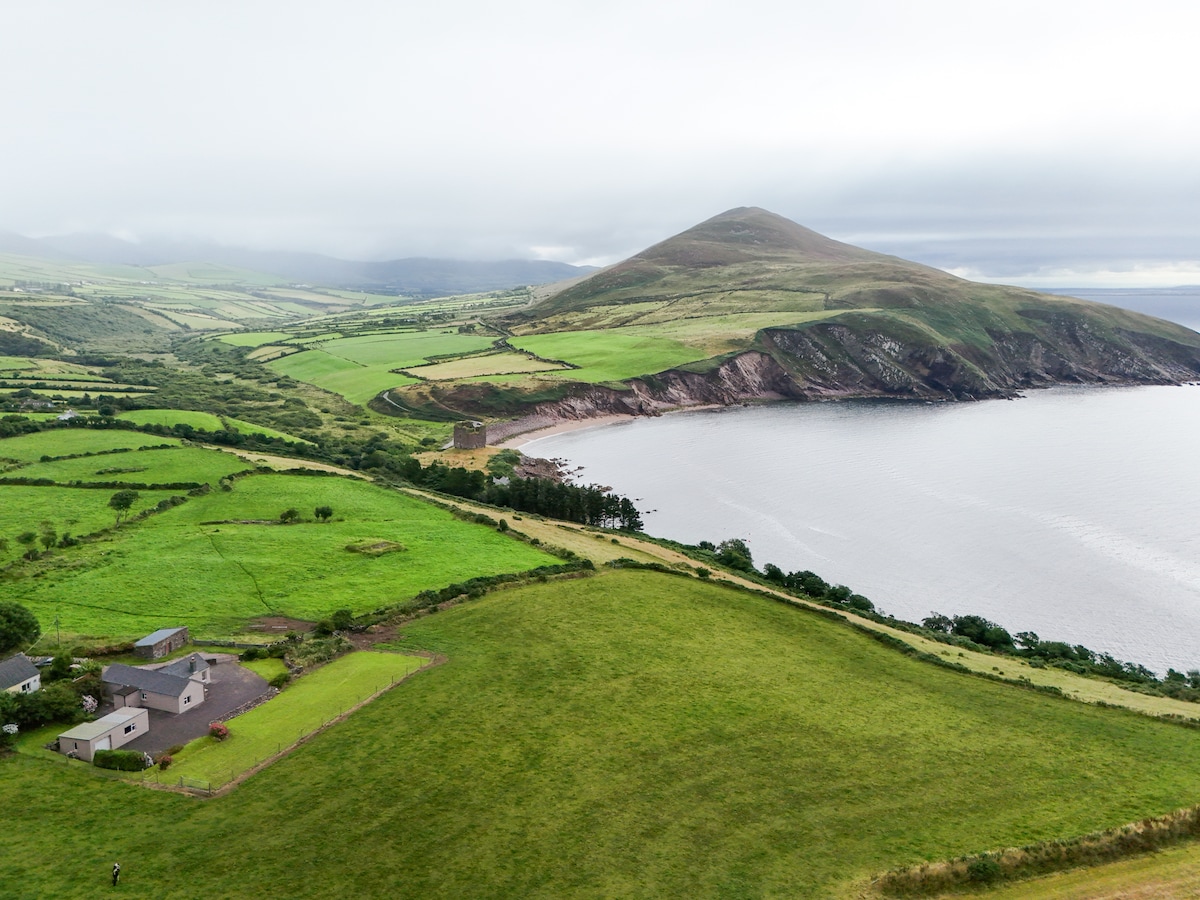 IndicatedFairy fort / earthen ringfort · 451 yd
 Culloville Bridgebridge · 1325 yd
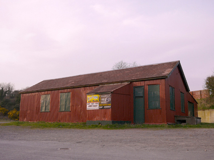 hallhall · 1335 yd
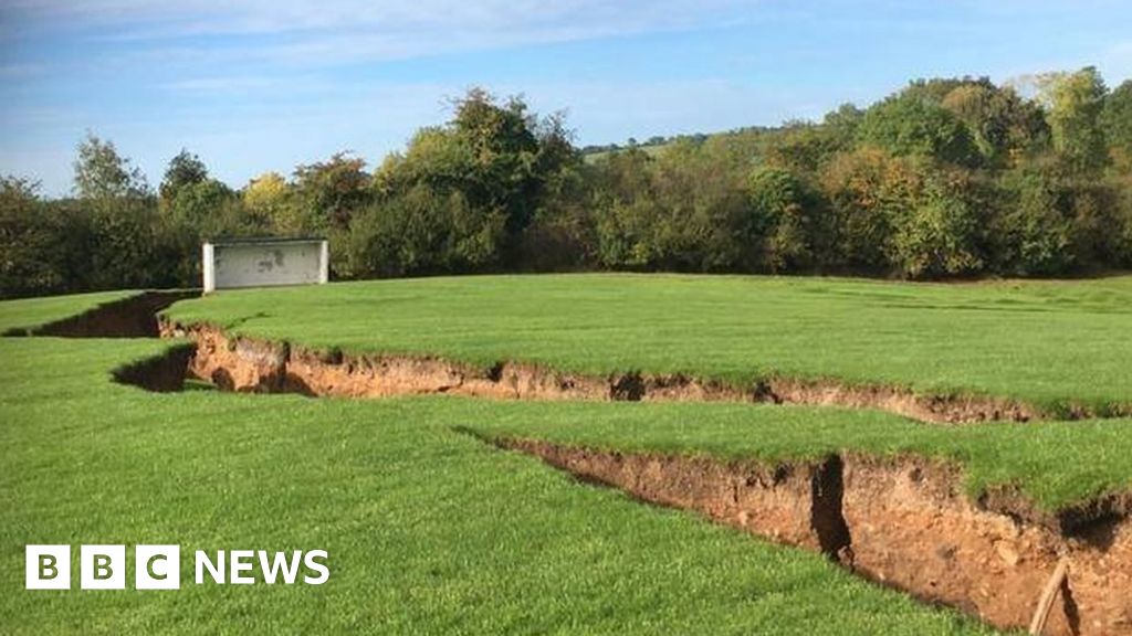 Man-made underground passage in CorcullioncrewMan-made underground passage · 1724 yd
 KnockreaghMountain / peak · 1.9 mi
 Battle of Newry Roadbattle · 3.1 mi
 MEDIEVAL & POST-MED. CHURCH & GRAVEYARD in Creggan Bane GlebeMEDIEVAL & POST-MED. CHURCH & GRAVEYARD · 3.4 mi
 Mannan Castle (in ruins)Castle, Anglo-Norman masonry castle · 3.7 mi
 The Black Castle Chambered GraveArchaeological place · 3.8 mi
 TobernagalliaghSpring · 4.1 mi
 Whites IslandIslet · 4.2 mi
 Fincarn HillMountain / peak · 4.6 mi