What is recorded here
Granny's Fort stands as a rath in Ballyalbanagh and Ballynashee, marking the area among other ancient sites like hilltop round cairns and court tombs. The name suggests a household or personal connection rather than a generic military stronghold, inviting imagination about who lived there and why the fort belonged to her.
The official Northern Ireland record identifies this as RATH: GRANNY'S FORT. Recorded period: E.CHRIST.. The official map point was placed at the centre of the recorded archaeological site from the source map reference.
The monument record does not grant public access. Check the route and ask the landowner before entering private land.
- What survives
- Recorded monument
Places near here
 ENCLOSURE & FIELD SYSTEMENCLOSURE & FIELD SYSTEM, possible MOATED SITE · 925 yd
 ENCLOSURE & FIELD SYSTEM in BallyalbanaghENCLOSURE & FIELD SYSTEM · 1223 yd
 FORTIFIED HOUSE: CASTLE HILL in DunamoyFORTIFIED HOUSE: CASTLE HILL · 1.7 mi
 Ballyboley ForestForest · 1.7 mi
 Big CollinMountain / peak · 3.0 mi
.jpg?width=1280) Ballyclare Town HallTown Hall · 3.5 mi
Ballyclare Town HallTown Hall · 3.5 mi_-_geograph.org.uk_-_5247773.jpg?width=1280) Ulster BankBank · 3.5 mi
Ulster BankBank · 3.5 mi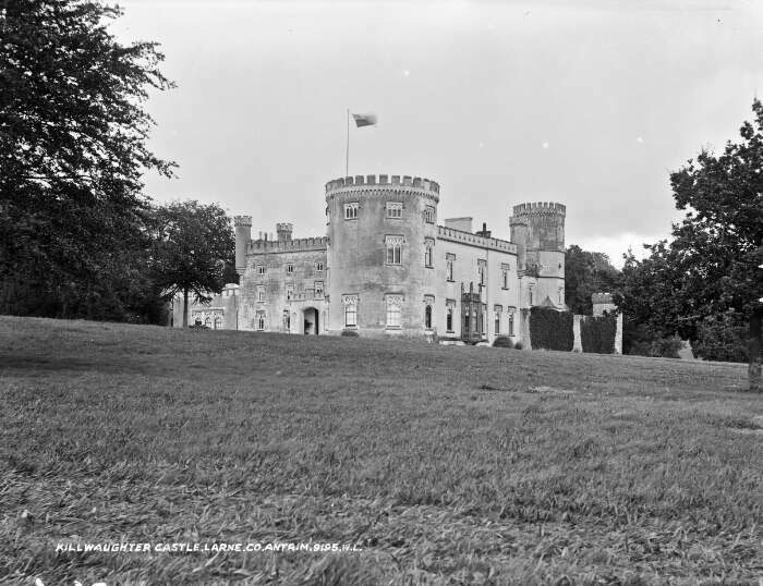 TOWER-HOUSE & BAWN: KILWAUGHTER CASTLE in DemesneTOWER-HOUSE & BAWN: KILWAUGHTER CASTLE · 5.5 mi
 Tardree MountainMountain / peak · 5.7 mi
 North Carn ForestForest · 6.3 mi
 SlemishMountain / peak · 6.5 mi
 Sentry Hill Historic HouseMuseum · 8.1 mi