What is recorded here
Fort Hill in Mount Stewart, County Down, is a rath, an ancient earthwork that likely served as a defensive stronghold or dwelling during the early Christian period. Its raised ground would have commanded the surrounding landscape, offering both protection and a clear view of approaching movement. The site remains a quiet reminder that human ambition and fear shaped the Irish countryside long before modern borders drew their lines.
The official Northern Ireland record identifies this as RATH: FORT HILL. Recorded period: E.CHRIST.. The official map point was placed at the centre of the recorded archaeological site from the source map reference.
The monument record does not grant public access. Check the route and ask the landowner before entering private land.
- What survives
- Recorded monument
Places near here
 'Tir N'an Og' burial groundGraveyard · 759 yd
 Lake Walk, Mount StewartWalking route · 1030 yd
 Mount StewartHeritage attraction · 1295 yd
 ENCLOSURE in BallyewryENCLOSURE · 1507 yd
 Red Trail, Mount StewartWalking route · 1.1 mi
 The Temple of the WindsEstate Related Structures · 1.1 mi
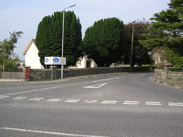 ENCLOSURE in BallyboleyENCLOSURE · 1.5 mi
 Mid IslandIslet · 2.4 mi
 Carrowdore CastleCastle · 2.6 mi
 Grey Abbey HouseCastle · 2.6 mi
 Rough IslandIslet · 3.7 mi
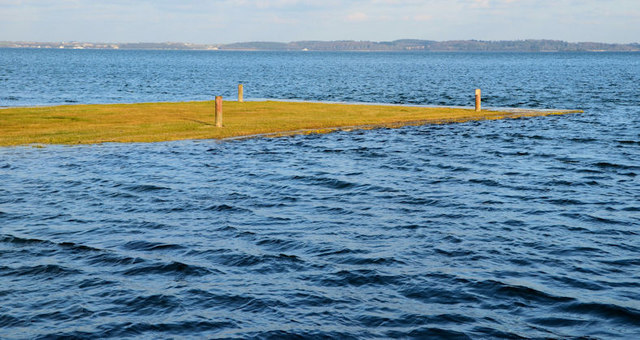 Ringneill QuayBay · 3.9 mi