What is recorded here
Drumilly Fort stands as a scheduled rath in County Armagh, marked on official maps as a surviving echo of early Christian activity. Its earthworks and hidden boundaries suggest a settled community that shaped the landscape long before modern records named it. The fort may have served as a refuge, a worship site or a local centre of power, though no exact date or owner remains clear. What survives is the shape of human presence, preserved in soil and stone rather than written memory.
The official Northern Ireland record identifies this as RATH: DRUMILLY FORT. Recorded period: E.CHRIST.. Recorded protection: Scheduled. The official map point was placed at the centre of the recorded archaeological site from the source map reference.
The monument record does not grant public access. Check the route and ask the landowner before entering private land.
- What survives
- Recorded monument
Places near here
 Drumilly MountainMountain / peak · 1698 yd
 ENCLOSURE in Carrickcloghan; EshwaryENCLOSURE · 1.1 mi
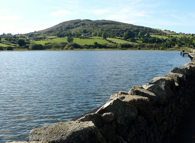 Sturgan MountainMountain / peak · 1.4 mi
 ENCLOSURE in CarrickcroppanENCLOSURE · 1.5 mi
 St. Luke's ChurchChurch · 1.6 mi
 Christ ChurchChurch · 2.1 mi
 BessbrookVisitor information · 2.3 mi
 War MemorialMonument · 2.4 mi
 Ballymoyer WoodWood · 2.8 mi
 POST-MED CHURCH; GRAVEYARD: BALLYMOYER OLD CHURCH or LISDROMAUDE in BallintemplePOST-MED CHURCH; GRAVEYARD: BALLYMOYER OLD CHURCH or LISDROMAUDE · 3.4 mi
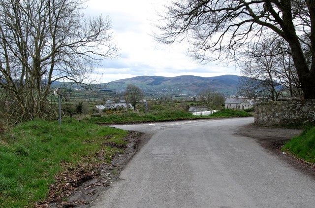 Killevy Churches AONB SignVisitor information · 4.0 mi
 St Moninna's WellSpring · 4.1 mi