What is recorded here
In early Christian times, a rath stood in Glassaneeran Upper, its earthworks marking a boundary between ordinary life and something older. The rath has been destroyed, but aerial photography still reveals its ghost lines across the land. What those lines guarded, who lived inside them, and when they fell silent have all disappeared. The sky remembers what the ground forgot.
The official Northern Ireland record identifies this as RATH (destroyed; visible on APs).. Recorded period: E.CHRIST.. The official map point was placed at the centre of the recorded archaeological site from the source map reference.
The monument record does not grant public access. Check the route and ask the landowner before entering private land.
- What survives
- Recorded monument
Places near here
 A.P. SITEA.P. SITE, cropmarks of 5 conjoined enclosures · 783 yd
 ENCLOSURE (rath?) & Man-made underground passage (O.S. memoir site; unlocated) in Glassaneeran Lower (possible); Glassaneeran Upper (possible)ENCLOSURE (rath?) & Man-made underground passage (O.S. memoir site; unlocated) · 1746 yd
 Drumtullagh Parish ChurchChurch · 2.1 mi
 Gracehill HouseHouse · 2.6 mi
 The Dark HedgesViewpoint · 2.9 mi
 Kilmoyle WoodForest · 2.9 mi
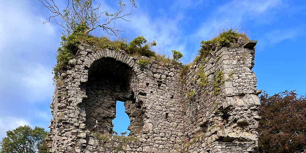 CASTLE (REMAINS OF): BALLYLOUGH CASTLE in Ballylough MoreCASTLE (REMAINS OF): BALLYLOUGH CASTLE · 3.3 mi
 CASTLE (O.S. memoir site; unlocated) in Livery LowerCASTLE (O.S. memoir site; unlocated) · 4.1 mi
 Old Bushmills DistilleryHeritage attraction · 4.3 mi
 White Park BayVisitor information · 4.4 mi
 Dunseverick FallsWaterfall · 4.9 mi
 PRE-NORMAN CHURCH & ROUND TOWER; MEDIEVAL PARISH CHURCH; POST-MEDIEVAL CHURCH & GRAVEYARD: ARMOY CHURCH & ROUND TOWER in GlebePRE-NORMAN CHURCH & ROUND TOWER; MEDIEVAL PARISH CHURCH; POST-MEDIEVAL CHURCH & GRAVEYARD: ARMOY CHURCH & ROUND TOWER · 5.2 mi