
What is recorded here
Ballygonnell and Rabron hold a rath at grid reference H1850 4804, joining a long list of Fermanagh earthworks that stretch from counterscarp to platform designs. The name Rath suggests a fortified place where people once drew a line between inside and out, perhaps keeping livestock, family or memory within its rim. Today the ground may look like an ordinary rise, but that hidden shape still belongs to the region and invites you to walk it without needing a marker.
Rath is recorded as a archaeological place in County Fermanagh. Its open map record supplies this location and any linked names or public references.
Places near here
 FormilMountain / peak · 460 yd
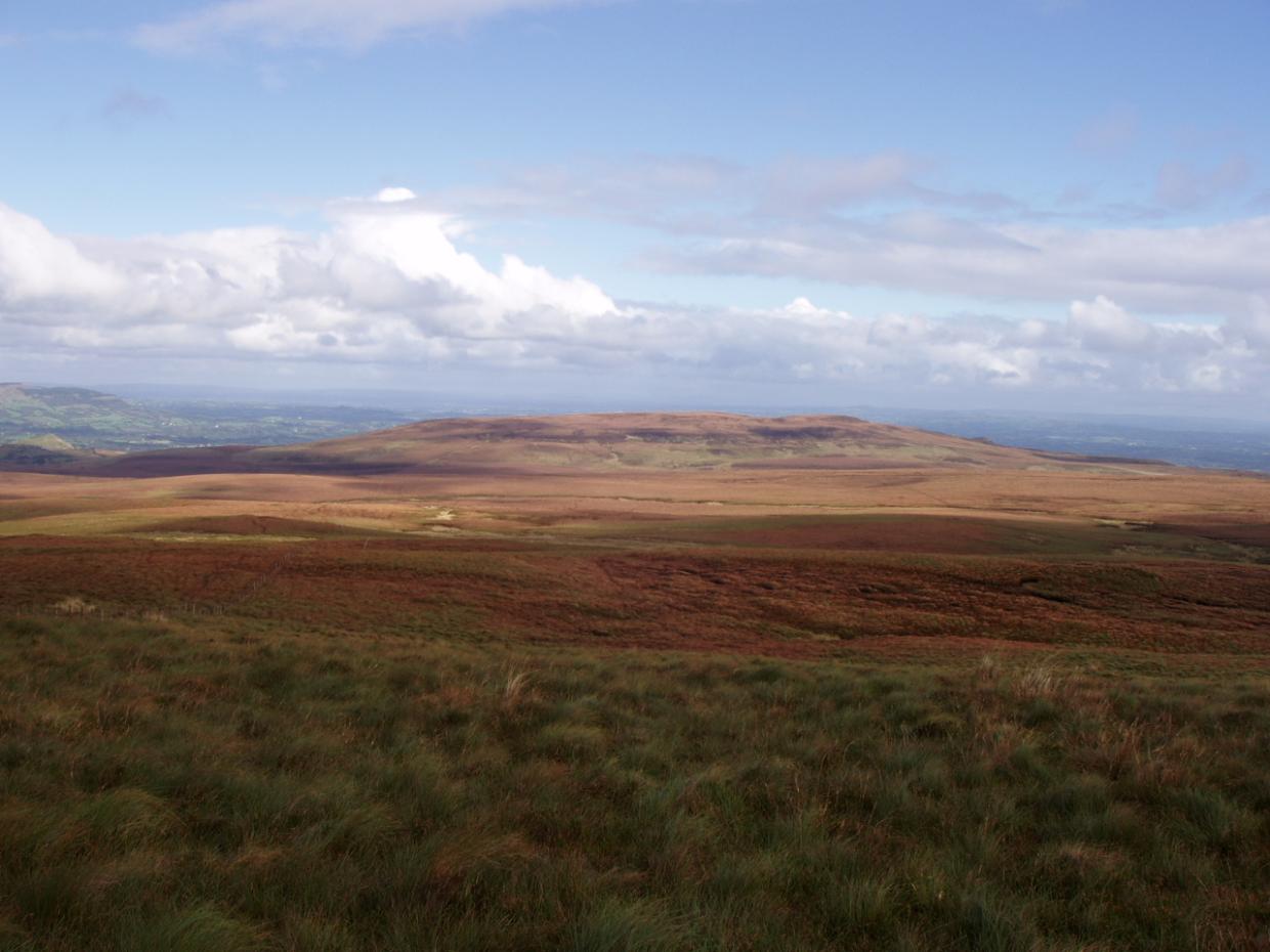 DrumettaghMountain / peak · 1.0 mi
 IndicatedEnclosure, large enclosure · 1.7 mi
 Corraquill ForestForest · 1.7 mi
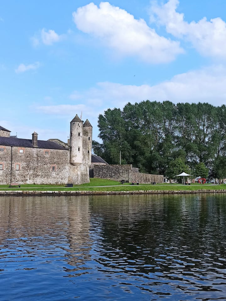 Corraharra WoodWood · 1.7 mi
 CrannodIslet · 1.7 mi
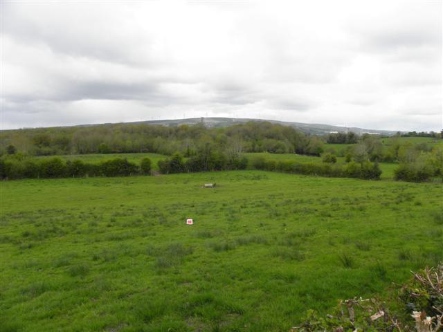 Enclosure in CuillaghanEnclosure · 2.2 mi
 Old Aghalane BridgeRuins · 2.2 mi
 Inisherk Trail, CromWalking route · 2.3 mi
 Castel Bagshaw in RuinsCastle, unclassified · 2.4 mi
 Summer HouseEstate Related Structures · 2.5 mi
 Crichton TowerHeritage attraction · 2.5 mi
Other information
Photo: Credit not shown in the picture search · Rights wording not checked; contact us if this picture should be removed