
What is recorded here
Rath is a name repeated across Fermanagh, marking hidden forts, buried churches and ancient graves scattered through townlands still spoken with pride. The word itself resists explanation, appearing wherever people lived, worshipped or remembered before written records. In one valley it may have marked a king’s fortress, in another a saint’s grave, in a third a boundary stone for land disputed across generations. To speak Rath is to admit that memory can exist without proof, that identity can be inherited through silence, and that the land keeps what humans forget.
Rath is recorded as a archaeological place in County Fermanagh. Its open map record supplies this location and any linked names or public references.
Places near here
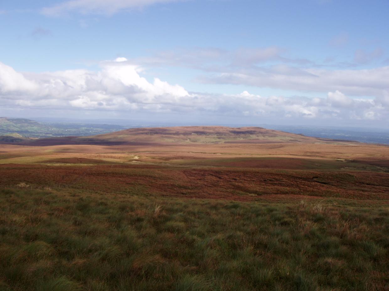 DrumettaghMountain / peak · 1000 yd
 FormilMountain / peak · 1348 yd
 Corraquill ForestForest · 1.1 mi
 CrannodIslet · 1.3 mi
 Camalier ForestForest · 1.5 mi
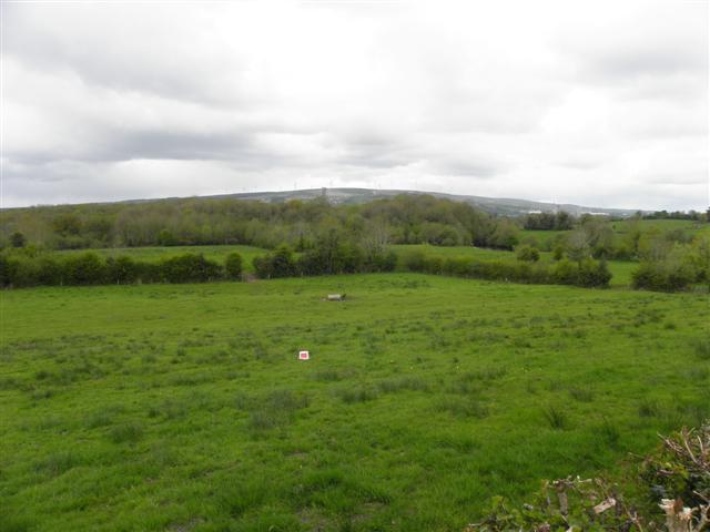 Enclosure in CuillaghanEnclosure · 1.5 mi
 ENCLOSURE in GortineddanENCLOSURE · 1.8 mi
 Old Aghalane BridgeRuins · 2.1 mi
 Castel Bagshaw in RuinsCastle, unclassified · 2.3 mi
 Slieve Russell Housecountry house · 2.6 mi
 Inisherk Trail, CromWalking route · 2.9 mi
 Swallow HoleCave · 3.0 mi
Other information
Photo: Credit not shown in the picture search · Rights wording not checked; contact us if this picture should be removed