What is recorded here
Rath is an archaeological place in County Derry, Ireland, where the land still keeps the shape of human life. The name suggests a fortified or managed area, though the facts provided do not confirm that meaning. It may have been a home, a boundary marker, a seasonal camp or a forgotten centre of local authority. The absence of detail does not diminish the place; it invites patience. What is missing can be witnessed in the ground, the vegetation and the way the area holds attention. Rath resists a quick answer, and that resistance is part of its identity.
Rath is recorded as a archaeological place in County Derry. Its open map record supplies this location and any linked names or public references.
Places near here
 ENCLOSURE in Ballyneill MoreENCLOSURE · 1034 yd
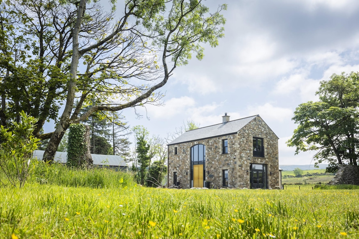 ENCLOSURE (O.S. memoir site, unlocated) in Ballyronan MoreENCLOSURE (O.S. memoir site, unlocated) · 1517 yd
 Coyle's CottageGallery/ Museum · 3.9 mi
 Springhill HouseCountry House · 4.4 mi
 Coagh ambushambush · 4.7 mi
 TOWER-HOUSE & BAWN: TOOME CASTLE in ToomeTOWER-HOUSE & BAWN: TOOME CASTLE · 4.8 mi
 War MemorialMonument · 5.3 mi
 Coltrim Picnic ParkPicnic place · 5.3 mi
 CASTLE (unlocated) in TamnaderryCASTLE (unlocated) · 5.9 mi
 PRE-NORMAN MONASTERY, & LATER CHURCH & GRAVEYARD: ARBOE or ARDBOE ABBEY in FarsnaghPRE-NORMAN MONASTERY, & LATER CHURCH & GRAVEYARD: ARBOE or ARDBOE ABBEY · 6.0 mi
 FORTIFIED HOUSE; BAWN; site of BATTLE (1641) in StaffordstownFORTIFIED HOUSE; BAWN; site of BATTLE (1641) · 6.4 mi
 Farsnagh PointHeadland · 6.6 mi