What is recorded here
Rath is a recurring name for buried forts and cashels scattered across County Armagh, from Ballenan to Carrickastickan. These are not one place but a pattern of human ambition, marking hills, valleys and field edges where people built defenses, shelters or monuments. The repetition suggests Rath was a common word for a strongholds or elevated site, remembered locally rather than recorded globally.
Rath is recorded as a archaeological place in County Armagh. Its open map record supplies this location and any linked names or public references.
Places near here
 A.P. SITEA.P. SITE, pssible circular enclosure · 1368 yd
 Cannon HillViewpoint · 1582 yd
 CASTLEDILLON OBELISK in TurcarraCASTLEDILLON OBELISK · 1603 yd
 Richhill War MemorialMemorial · 1.3 mi
 St. Matthew's ChurchChurch · 1.4 mi
 AP Cropmark: Possible large enclosure (prehistoric?) in AltaturkAP Cropmark: Possible large enclosure (prehistoric?) · 1.4 mi
 Loughgall Ambushterrorist attack · 2.5 mi
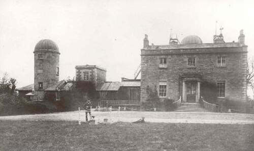 Armagh ObservatoryHistoric observatory · 3.1 mi
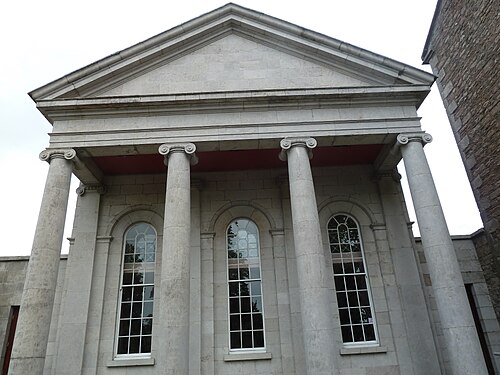 Armagh County MuseumMuseum · 3.1 mi
 Battle of the Yellow FordMajor battlefield · 3.2 mi
 Armagh Rail Disaster Memorial SculptureMemorial · 3.2 mi
 Abbey StreetVisitor information · 3.4 mi