
What is recorded here
The official Northern Ireland record identifies this as CASTLEDILLON OBELISK. Recorded period: C18TH. Recorded protection: State Care. The official map point was placed at the centre of the recorded archaeological site from the source map reference.
Castledillon Obelisk in Turcarra, Northern Ireland, is a 17th- or 18th-century monumental stone structure, likely built as a territorial or commemorative marker. It is important as a rare surviving example of early modern landscape architecture in the region.
The monument record does not grant public access. Check the route and ask the landowner before entering private land.
- What survives
- Recorded monument
Places near here
 Cannon HillViewpoint · 21 yd
 A.P. SITEA.P. SITE, pssible circular enclosure · 867 yd
 St Luke's Church of Ireland ChurchChurch · 1.6 mi
 Loughgall Ambushterrorist attack · 1.6 mi
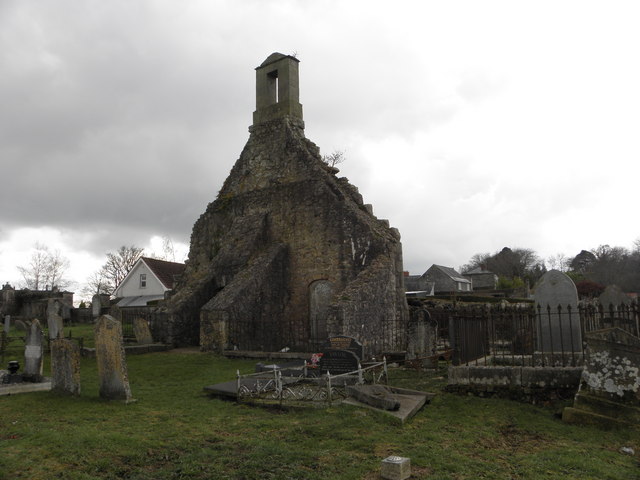 MULTIPERIOD CHURCH SITE & GRAVEYARD: LOUGHGALL; LEVALLIEGLISH in Levalleglish, LoughgallMULTIPERIOD CHURCH SITE & GRAVEYARD: LOUGHGALL; LEVALLIEGLISH · 1.7 mi
 Richhill War MemorialMemorial · 2.1 mi
 St. Matthew's ChurchChurch · 2.2 mi
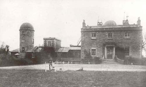 Armagh ObservatoryHistoric observatory · 3.0 mi
 Battle of the Yellow FordMajor battlefield · 3.1 mi
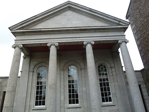 Armagh County MuseumMuseum · 3.1 mi
 Boer War memorialMemorial · 3.2 mi
 Abbey StreetVisitor information · 3.3 mi
Other information
Photo: Department for Communities (no photographer named) · Licence not stated by the source page